


You can find ample parking in town. The city park makes for a nice spot to start from since its a central location and close to the road that will take you to the dirt.
Once you get on to Posey Lake Road just take it north until the pavement ends and the dirt road begins.
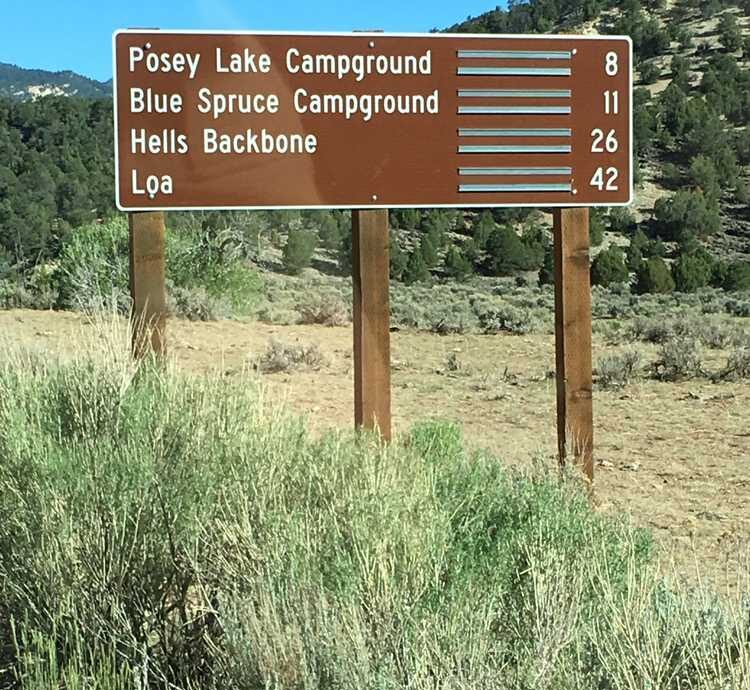
The first sign noting distances and locations. Follow signs for Hell's Backbone for this portion.
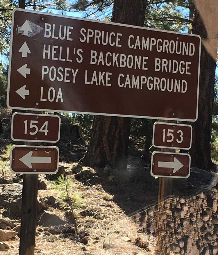
 Follow FR 153 toward Hell's Backbone.
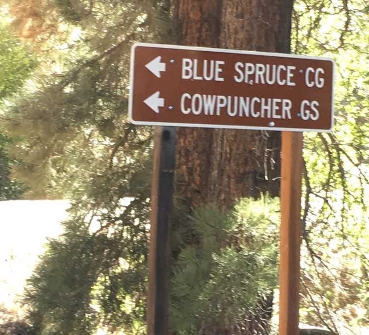
 The turn off for the Blue Spruce Campground. Find more information about this campground here: https://www.fs.usda.gov/recarea/dixie/recarea/?recid=24988
 Follow signs for Hell's Backbone for this portion and arrive at beautiful overlooks at Hell's Backbone. Well worth the stop!
The next portion of the trail will take you by McGath Lake. Follow the signs to lead you there. Important note: Full size vehicles are NOT permitted on the Boulder Swale OHV Trail portion. Next, turn south onto FR 154 to begin your trip back to Escalante.
Turn on to FR 152 to continue the loop. Then follow signs back to Highway 12 to complete the loop.
Follow signs for Hell's Backbone for this portion and arrive at beautiful overlooks at Hell's Backbone. Well worth the stop!
The next portion of the trail will take you by McGath Lake. Follow the signs to lead you there. Important note: Full size vehicles are NOT permitted on the Boulder Swale OHV Trail portion. Next, turn south onto FR 154 to begin your trip back to Escalante.
Turn on to FR 152 to continue the loop. Then follow signs back to Highway 12 to complete the loop.
Follow FR 153 toward Hell's Backbone.
The turn off for the Blue Spruce Campground. Find more information about this campground here: https://www.fs.usda.gov/recarea/dixie/recarea/?recid=24988
Follow signs for Hell's Backbone for this portion and arrive at beautiful overlooks at Hell's Backbone. Well worth the stop!
The next portion of the trail will take you by McGath Lake. Follow the signs to lead you there. Important note: Full size vehicles are NOT permitted on the Boulder Swale OHV Trail portion. Next, turn south onto FR 154 to begin your trip back to Escalante.
Turn on to FR 152 to continue the loop. Then follow signs back to Highway 12 to complete the loop.
Enter your name and email and get notified when we add new trails... it's FREE!

Our goal is 150 Trails in Utah, don't miss out as we continue to provide you great riding areas.
Your information will *never* be shared or sold to a 3rd party.
