Enter your name and email and get notified when we add new trails... it's FREE!

Our goal is 150 Trails in Utah, don't miss out as we continue to provide you great riding areas.
Your information will *never* be shared or sold to a 3rd party.


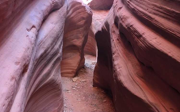
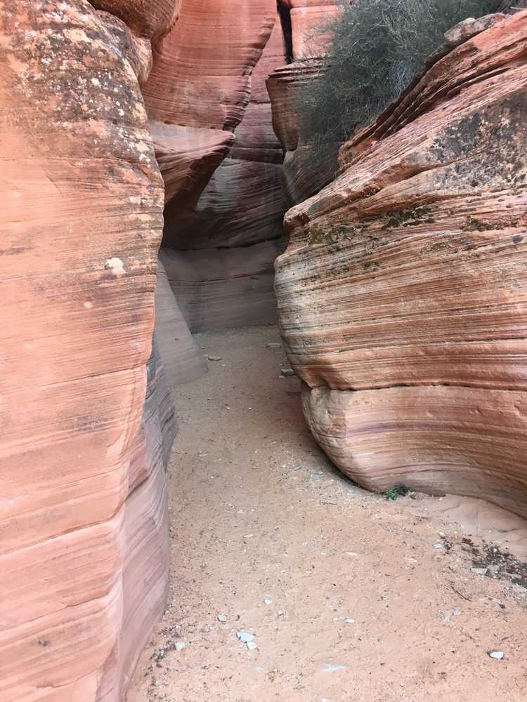
The Sand Hills Trail in Kane County is a great trail to explore and familiarize yourself with the Sand Hills near Kanab. This trail takes you about 25 miles through the gorgeous landscape of Southern Utah. This trail takes you right to an incredible slot canyon. The Peekaboo canyon is a great place to check out if you’re looking to see a great slot canyon while avoiding the crowds. This OHV trail also leads you to the Hiking trailhead for Elkheart Cliffs Slot Canyon. This is another great slot canyon, if you feel like doing a bit of hiking.
The terrain is mostly comprised of sand and rocky trails.
This trail provides great opportunities to stop, get out, and take in the views.
You can also find just about every amenity you need including gas, lodging, and food in the town of Kanab
GAIA
We highly recommend you get GAIA GPS for your mobile device. GAIA GPS will allow you to download this trail complete with the photos you see here so you can be sure where you are at all times. Simply install the GAIA GPS app and save this trail from the button below.
Here is the 360 view at the trailhead. Feel free to tour around a bit inside Google Street Views. We have recorded the trail in 360 and it is now part of Google Street Views so you can take a virtual tour of the trail to see if it is for you. We’ve made it a bit easier to navigate, scroll down and you will see more 360 embedded tours as we encounter intersections, trail markers or interesting places along the trail.
On any image, you can click the ‘X’ in the upper right corner and the view will change to an overview map showing the Google Street View blue lines. You can click anywhere on that blue line and drop down to the 360 ground-level views at that point.
You can move the image 360 degrees, click the arrow to move further down the trail and zoom in and out to take a closer look. Clicking the box in the upper right-hand corner will enlarge to full screen for a better view.
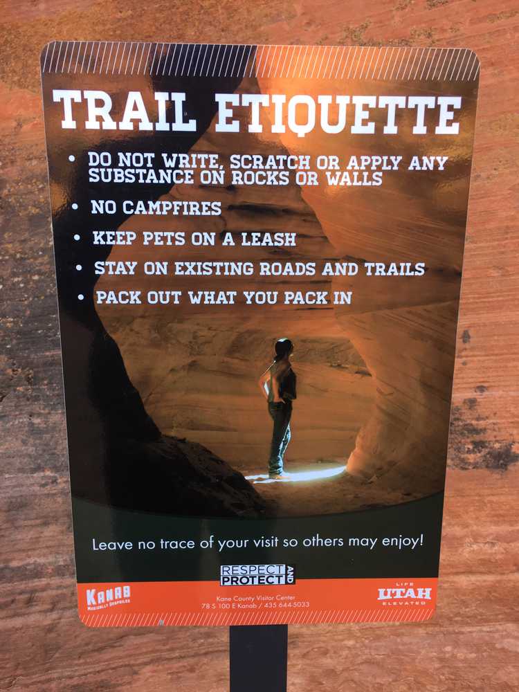
A good reminder about trail etiquette and another picture we took at the peekaboo slot canyons.
The PDF below is an OHV map of the Kanab area trails from the Utah State Parks. It has some good information and might be worth saving as you plan for to ride this trail and other trails in the Kanab area.
