

The connection between communities and trails is one of the unique aspects of riding in Utah. There are trails that will take you across the entire state but for those who are looking for a great ride that doesn’t take multiple days, this route from Salina to Richfield may be for you.
This trail is a 90-mile loop that connects the community of Salina with Richfield that will take you into the Pavant Range west of town back into the valley along I-70 back to Salina. This trip can be completed in a day or combine it with some other attractions in the area and make a weekend out of it. Salina and Richfield both have lodging, restaurants and stores available for everything you need. The trail is close to town but takes off onto the mountain for a great escape without leaving civilization too far behind.
The Rocky Mountain ATV/UTV Jamboree bases out of Richfield if you are looking for more riding in the area or want to make some new friends on the trail. The annual event takes place in September. More Info.
- Directions
- No Facilities on the trail. Fuel, food and lodging in Joseph or nearby Richfield, Utah
- OHVs: ** Some areas restricted to 60"** ATVs, MCs, UTVs. High clearance 4x4s on most trails. Riding is restricted to designated trails.
- Terrain: Dirt backcountry road as well as paved road.
- Signage: Trail is well signed.
- KML File for Google Maps
- GPX File for your Garmin GPS or other Apps
- Emergencies: Sevier Valley Medical Center, (Intermountain Healthcare) 1000 North Main Street, Richfield, UT 84701 (435) 893-4100
- Sevier County Sheriff: Dial 9-1-1 or (435) 896-2600; Utah Highway Patrol – Richfield: Dial 9-1-1 or (435) 896-2780. We highly recommend you purchase a Utah Search and Rescue Assistant Card (USARA), learn more: https://secure.utah.gov/rescue/
GAIA
We highly recommend you get GAIA GPS for your mobile device. GAIA GPS will allow you to download this trail complete with the photos you see here so you can be sure where you are at all times. Simply install the GAIA GPS app and save this trail from the button below.
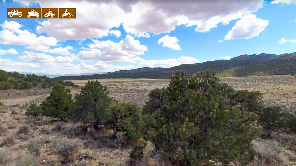
Here is the 360 view at the trailhead. Feel free to tour around a bit inside Google Street Views. We have recorded the trail in 360 and it is now part of Google Street Views so you can take a virtual tour of the trail to see if it is for you. We’ve made it a bit easier to navigate, scroll down and you will see more 360 embedded tours as we encounter intersections, trail markers or interesting places along the trail.
On any image, you can click the ‘X’ in the upper right corner and the view will change to an overview map showing the Google Street View blue lines. You can click anywhere on that blue line and drop down to the 360 ground-level views at that point.
You can move the image 360 degrees, click the arrow to move further down the trail and zoom in and out to take a closer look. Clicking the box in the upper right-hand corner will enlarge to full screen for a better view.

