

This is the turn off from the Burr Trail Road to the Wolverine Loop. You can stage off this road down about 500 feet or so.
The road is quite good for the most part. As you can see here its a smooth one so you will make good time. This section follows the ledges that run North-South along the West side of the trail.
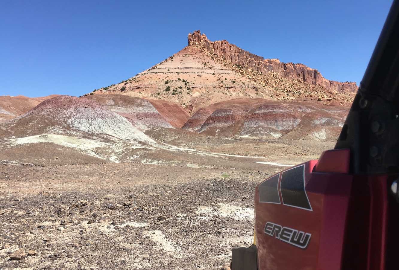
About 10 miles into the trail you'll see a stopping point and sign for Wolverine Canyon Petrified Wood Natural Area. This is a fun moment to stretch your legs and see some amazing petrified wood specimens. Please note: Collecting samples is this area is prohibited.
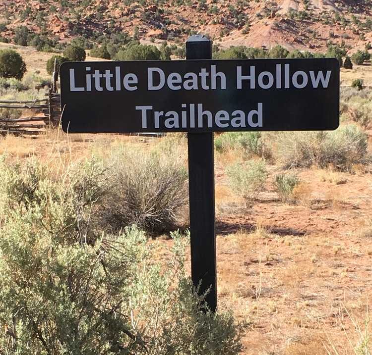
Three miles down the trail from there is the Little Death Hollow Trailhead featuring more petrified wood, and Jacob's Arch. The hike is about six miles in to Jacob's Arch.
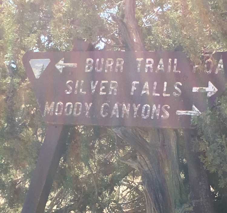
 Twenty miles in you will reach the junction for the Wolverine Loop and Moody Canyons. Turning right will take you on an out and back adventure adding 40 miles total. Go left to complete the loop.
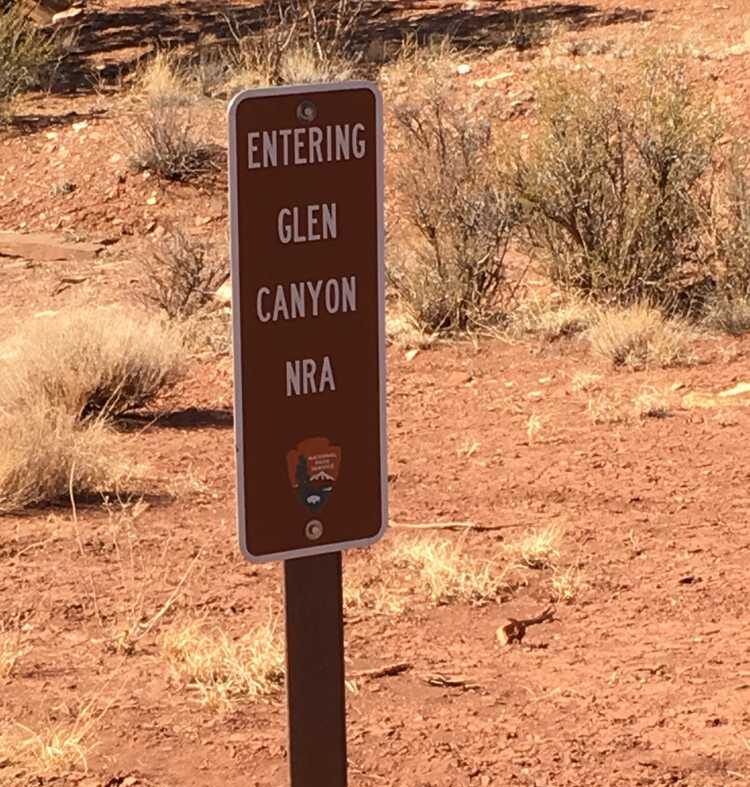
 If you choose to to do the Moody Canyon portion, be aware that it enters Glen Canyon National Recreation Area property.
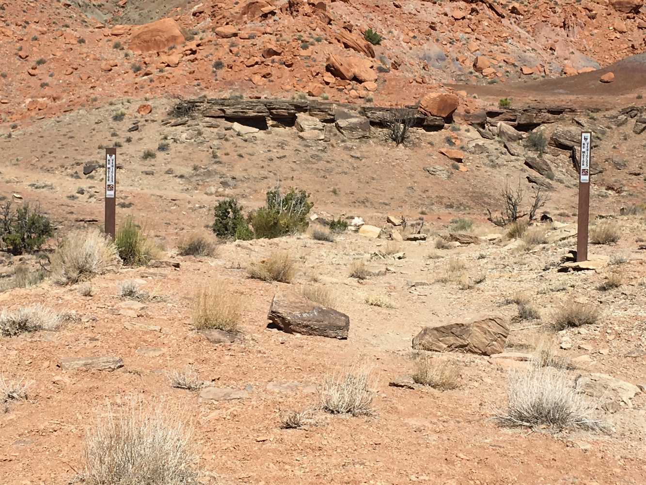
 The trail also runs adjacent to several Wilderness Study Areas, so keep eyes out for signs and stay on the trail!
 You will pass the old Colt Mesa Copper Mine and follow Choprock Bench (on the right in this 360)
Left or right? Either is fine. The Left , Purple Hill sroad, will take you out to a dead end but the trail is fun and not to long, about a mile or so. The road on the right eventually dead ends looking down into the far reaching edges of tributaries to Escalante River and lake Powell. You are a very long way from anywhere here so be careful and embrace the felling of solitude. Feel free to explore.
The beautiful view from the end of Purple Hills Road looking northeast toward Deer Point.
You will pass the old Colt Mesa Copper Mine and follow Choprock Bench (on the right in this 360)
Left or right? Either is fine. The Left , Purple Hill sroad, will take you out to a dead end but the trail is fun and not to long, about a mile or so. The road on the right eventually dead ends looking down into the far reaching edges of tributaries to Escalante River and lake Powell. You are a very long way from anywhere here so be careful and embrace the felling of solitude. Feel free to explore.
The beautiful view from the end of Purple Hills Road looking northeast toward Deer Point.
 To complete the loop,return the way you came except don't go cak toward Wolverine canyon. Simply continue due North, the road is in great shape. Soon you can get back on to the Burr Trail Road and drive 10 miles west back to the staging area.
Twenty miles in you will reach the junction for the Wolverine Loop and Moody Canyons. Turning right will take you on an out and back adventure adding 40 miles total. Go left to complete the loop.
If you choose to to do the Moody Canyon portion, be aware that it enters Glen Canyon National Recreation Area property.
The trail also runs adjacent to several Wilderness Study Areas, so keep eyes out for signs and stay on the trail!
You will pass the old Colt Mesa Copper Mine and follow Choprock Bench (on the right in this 360)
Left or right? Either is fine. The Left , Purple Hill sroad, will take you out to a dead end but the trail is fun and not to long, about a mile or so. The road on the right eventually dead ends looking down into the far reaching edges of tributaries to Escalante River and lake Powell. You are a very long way from anywhere here so be careful and embrace the felling of solitude. Feel free to explore.
The beautiful view from the end of Purple Hills Road looking northeast toward Deer Point.
To complete the loop,return the way you came except don't go cak toward Wolverine canyon. Simply continue due North, the road is in great shape. Soon you can get back on to the Burr Trail Road and drive 10 miles west back to the staging area.
Enter your name and email and get notified when we add new trails... it's FREE!

Our goal is 150 Trails in Utah, don't miss out as we continue to provide you great riding areas.
Your information will *never* be shared or sold to a 3rd party.
