Lower San Rafael Loop – Emery CO Utah
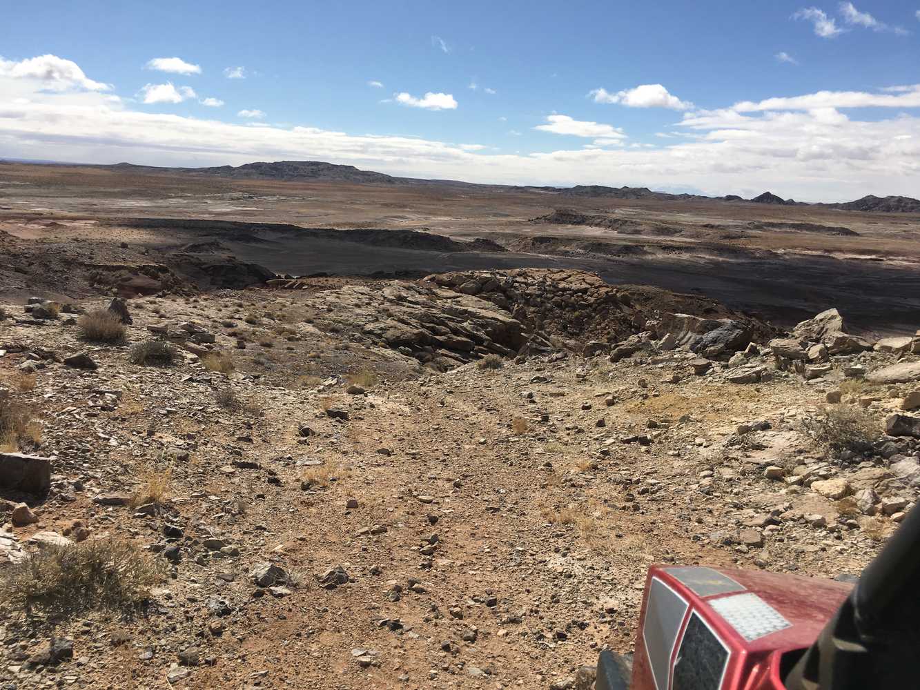
The San Rafael South Loop OHV Trail is a 65-mile, all-day ride in the desert. We spent six hours on the trail at an average speed of 10 mph. Riding…


The San Rafael South Loop OHV Trail is a 65-mile, all-day ride in the desert. We spent six hours on the trail at an average speed of 10 mph. Riding…
The Dry Lake Wash OHV Trail is a 60-mile, all-day ride in the desert. We spent six hours on the trail at an average speed of 10 mph. Riding consists…
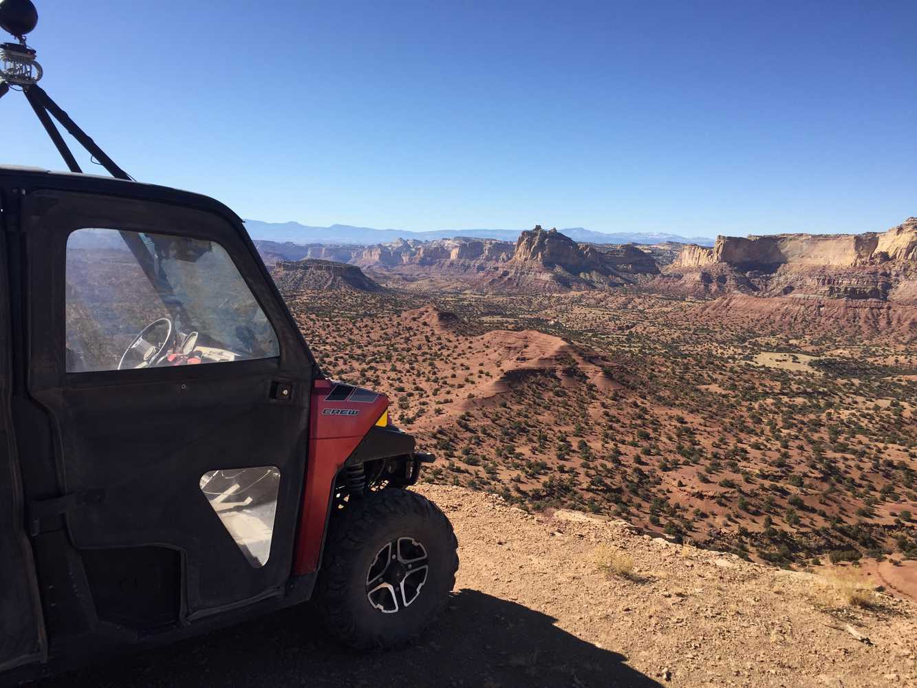
The Devil’s Racetrack is a 42.4 mile desert loop just north of I-70 in the beautiful San Rafael Swell. Our ride took 6.5 hours at approximately 7 mph. This is…
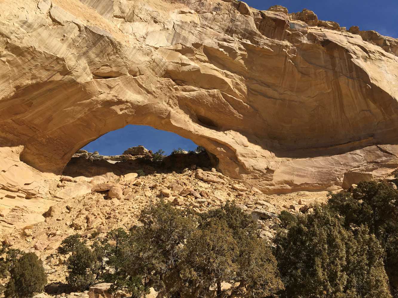
The Temple Mountain OHV trails are located in Emery County, Utah south of the San Rafael Reed Wilderness Area, with close proximity to Goblin Valley State Park, Green River and…
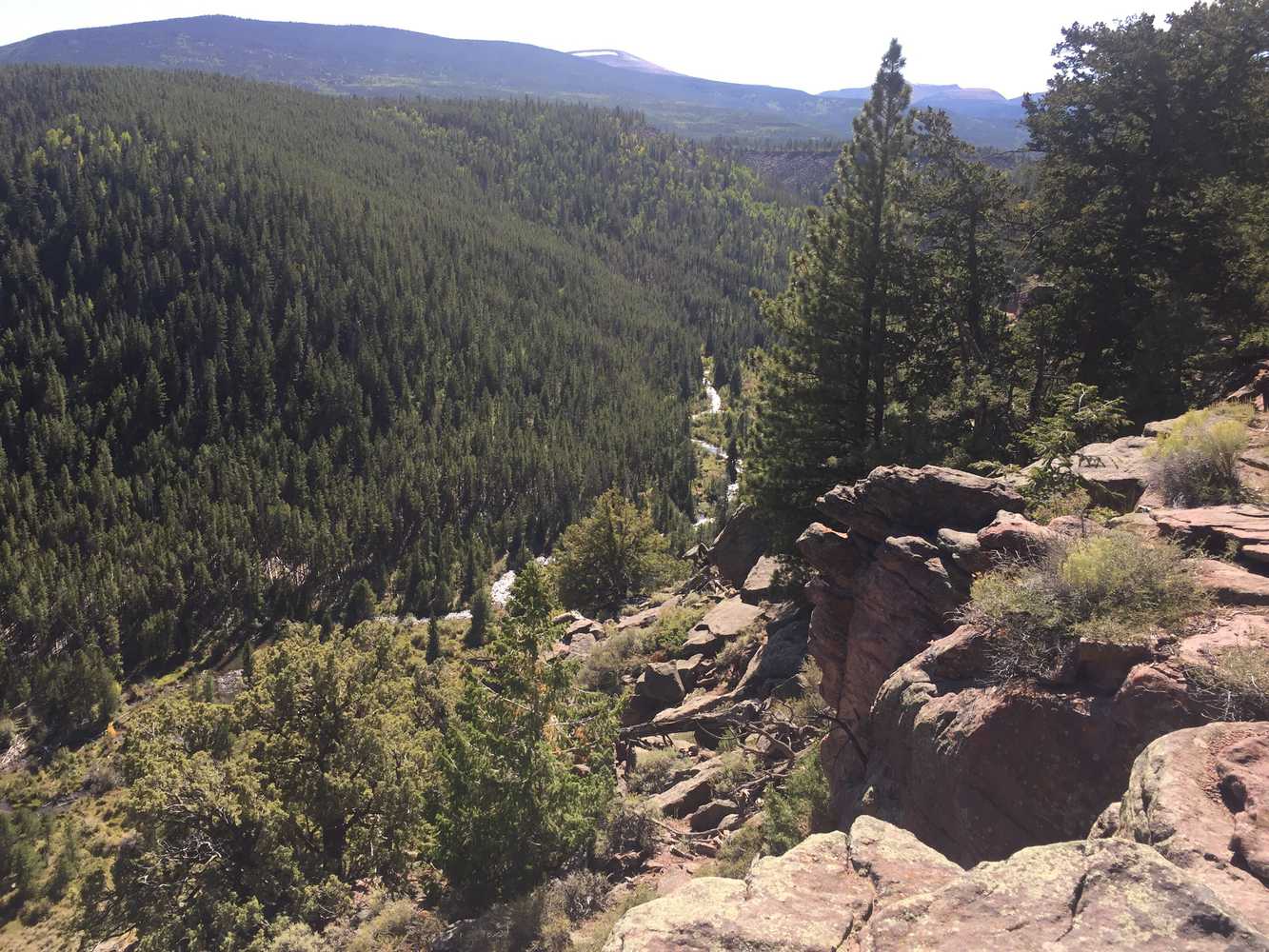
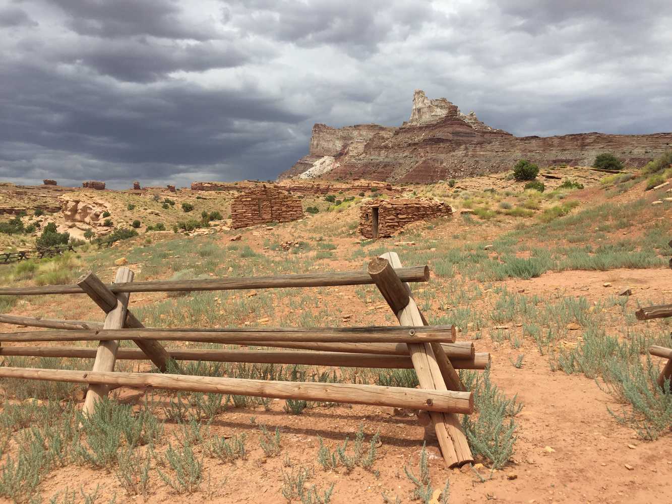
Ute Mountain OHV Trail will take you to the last standing fire tower with a living quarters in Utah. The trailhead is right off the highway UT-44, 20 minutes south…
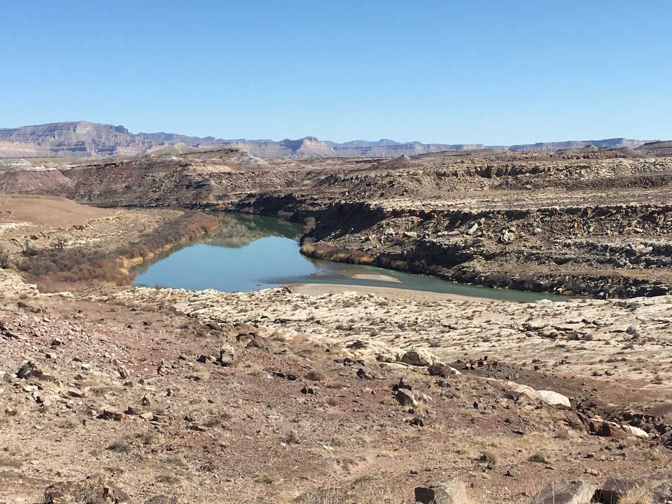
Eagle Canyon is a scenic drive in the San Rafael Swell. To explore this area, take I-70 to exit 116 for Moore. There is a rest area just off the…
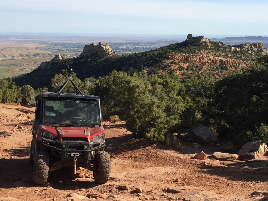
The Red Mountain trails are located in Uintah County approximately 8 miles north of Vernal at Steinaker Lake State Park and 215 miles east of Salt Lake City. The trailhead…
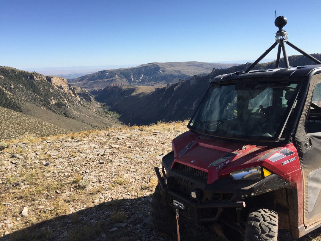
The Charlie trails are located in Uintah County approximately 14 miles North West of Vernal UT in Dry Fork Canyon, and 220 miles East of Salt Lake City Utah. The…
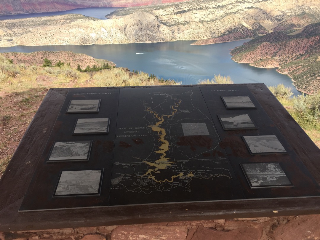
The Dowd trails are located in Dagget County approximately 49 miles North of Vernal UT, and 183 miles East of Salt Lake City Utah. The trailhead is located immediately off…
The Yellowstone trails are located in Duchesne County approximately 28.4 North of Duchesne UT, and 136 miles East of Provo Utah. It is a good idea to get detailed directions(below)…
