

If you start your journey from the town park, you can take Center Street all the way east until you hit the dirt.
Heading over the cattle guards past the farm land will get you into back canyon areas and up to Coal Bench.
One of the tangents you can take will take you up Pasture Canyon.
Another tangent will take you out to the Shakespeare Mine.
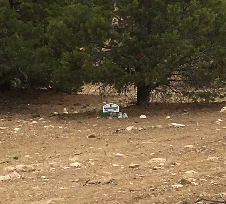
Turnout and register for the Henderson Canyon area.
Turn here and cross the wash to head up the hill towards Coal Bench.
This trail borders and crosses through several wilderness study areas. Stay on the trail and protect our access!
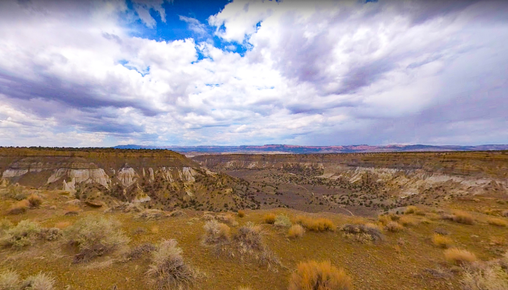
 This trail borders and crosses through several wilderness study areas. Stay on the trail and protect our access. You'll be rewarded with incredible vantage points from the top of Coal Bench!
Another viewing area from Coal Bench looking off into Henrieville.
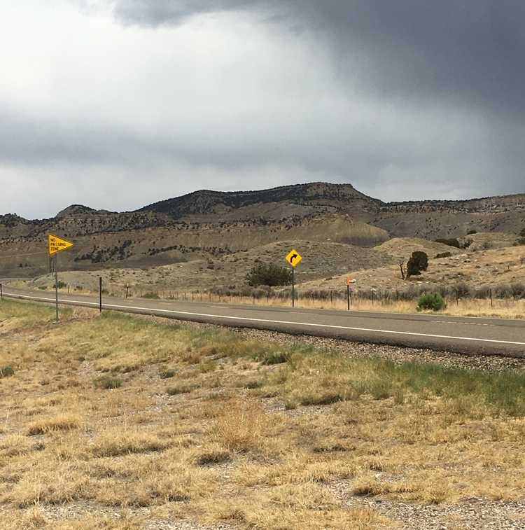
Head back onto Highway 12 to get back to Tropic.
This trail borders and crosses through several wilderness study areas. Stay on the trail and protect our access. You'll be rewarded with incredible vantage points from the top of Coal Bench!
Another viewing area from Coal Bench looking off into Henrieville.
Head back onto Highway 12 to get back to Tropic.
Enter your name and email and get notified when we add new trails... it's FREE!

Our goal is 150 Trails in Utah, don't miss out as we continue to provide you great riding areas.
Your information will *never* be shared or sold to a 3rd party.
