

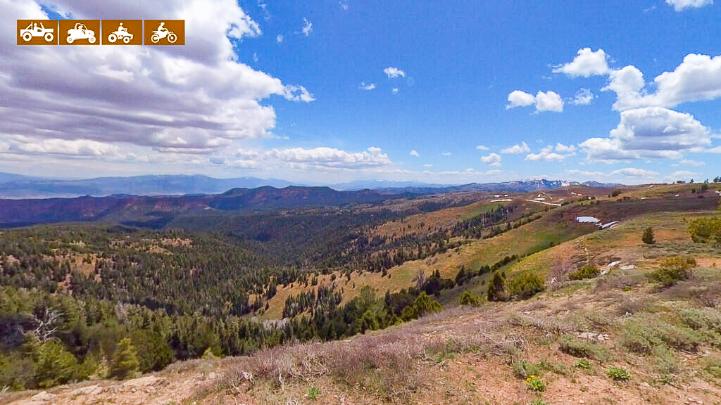
We spent seven hours riding from Joseph to Salina for 91 miles at approximately 6 mph. You will want to plan on a long day out to allow for plenty of time for this ride. We rode the trail as an out and back but there are parts of the trail that follow along I-70 that you can stop if you like as well as going through Richfield.
Basing out of Joseph allows for close access to the trail to get an early start on the trail without a lot of additional travel. You can start from the Flying U Country Store where you can stock up on supplies and gas for the trail ahead.
- Directions from the North
- Directions from the South
- Facilities: No Facilities on the trail. Fuel, food and lodging in Joseph or nearby Richfield, Utah
- OHVs: ATVs, MCs, UTVs, High clearance 4x4s on most trails. Riding is restricted to designated trails.
- Terrain: Dirt backcountry roads and paved roads through town
- Signage: BLM Route Markers and Carsonites / well-marked
- KML File for Google Maps
- GPX File for your Garmin GPS or other Apps
- Emergencies: Sevier Valley Hospital • 1000 N Main St, Richfield, UT 84701 • (435) 893-4100; Dial 9-1-1 for emergencies
- Sheriff: Sevier County Sheriff: Dial 9-1-1 for emergencies or non-emergency dispatch: (435) 893-4100 | We highly recommend you purchase a Utah Search and Rescue Assistant Card (USARA)
GAIA
We highly recommend you get GAIA GPS for your mobile device. GAIA GPS will allow you to download this trail complete with the photos you see here so you can be sure where you are at all times. Simply install the GAIA GPS app and save this trail from the button below.

