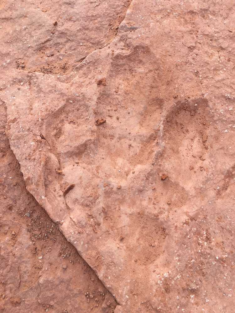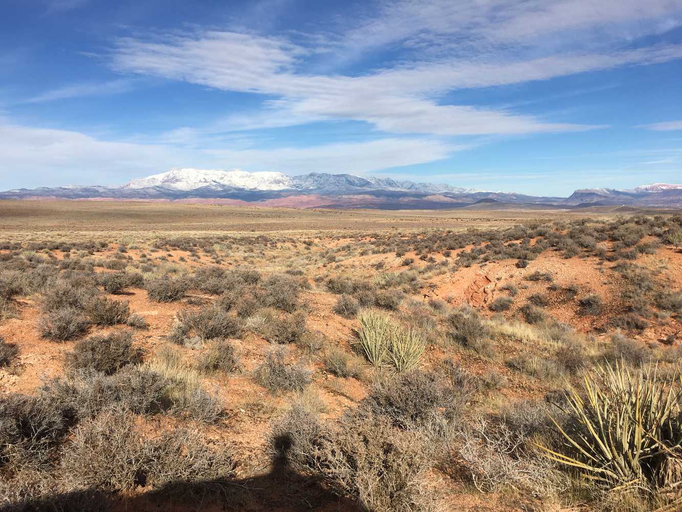
The Hurricane Valley South trail is a great trail for exploring some of beautiful Southern Utah. This ride will take you on cliffside overlooks and through desert valleys. You have the opportunity to check out a couple of landmarks in the area. The first one is Fort Pearce. This fort was built by settlers in the 1800s to protect them from Navajo Native Americans during the Black Hawk war. The second is the Dinosaur Track Site. With just a short walk you are able to walk where the dinosaurs used to roam and see their footprints in the rock.
The terrain is mostly comprised of dirt and rocky trails.
This trail provides great opportunities to stop, get out and take in the views.
You can also find just about every amenity you need in town including gas, lodging and food.
GAIA
We highly recommend you get GAIA GPS for your mobile device. GAIA GPS will allow you to download this trail complete with the photos you see here so you can be sure where you are at all times. Simply install the GAIA GPS app and save this trail from the button below.
- Directions From the North
- Directions from the South
- Facilities: Lodging, restaurants, fuel and groceries are available in the town of Washington.
- OHVs: Mostly OHV trail-style riding.
- Terrain: Mostly sand trails - some rocky areas. Mostly OHV trail-style riding.
- Signage: signs at most intersections noting distance to landmarks and direction of travel.
- KML File for Google Maps
- GPX File for your Garmin GPS or other Apps
- Emergencies: St. George Regional Hospital River Road Emergency Department - 1380 E Medical Center Dr, St George, UT.
- Washington Police Department: Dial 9-1-1 for emergencies or Non-Emergency Dispatch: 435-986-1515. We highly recommend you purchase a Utah Search and Rescue Assistant Card (USARA) learn more: https://secure.utah.gov/rescue/
Here is the 360 view at the trailhead. Feel free to tour around a bit inside Google Street Views. We have recorded the trail in 360 and it is now part of Google Street Views so you can take a virtual tour of the trail to see if it is for you. We’ve made it a bit easier to navigate, scroll down and you will see more 360 embedded tours as we encounter intersections, trail markers or interesting places along the trail.
On any image, you can click the ‘X’ in the upper right corner and the view will change to an overview map showing the Google Street View blue lines. You can click anywhere on that blue line and drop down to the 360 ground-level views at that point.
You can move the image 360 degrees, click the arrow to move further down the trail and zoom in and out to take a closer look. Clicking the box in the upper right-hand corner will enlarge to full screen for a better view.
Here is a picture of one of many dinosaur tracks you’ll find at the Warner Valley Dinosaur Tracks site.