

The Scofield – Tucker OHV Trail is a 38-mile loop in Central Utah that begins at the northwest end of Scofield State Park. Our ride took just over four hours at 7 mph. The trail is good for beginners in terms of terrain and short enough to bring the family along for the ride as there are some stops for fishing and short explorations for wildlife spotting. It is a easy half-day rideon a series of graded roads. Though the terrain is easy, there are quite a few areas of private property to avoid so please pay attention to signage.
- Directions From the North
- Directions from the South
- Facilities: Bathrooms and Campsites at Scofield State Park, Fuel in Scofield, we recommend stockingup on additional supplies in Spanish Fork, Mt. Pleasant or Price.
- OHVs: All sizes. No width limits. ATVs, MCs, UTVs, 4x4s on most trails.
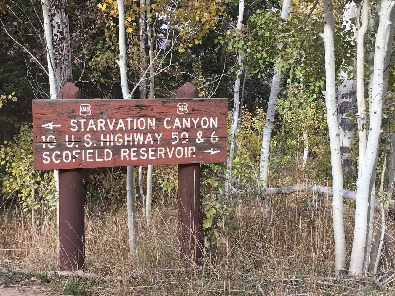
- Signage: Most trails have adequate signage. Pay attention to areas marked as “no trespassing” or posted as private property.
- KML File for Google Maps
- GPX File for your Garmin GPS or other Apps
We highly recommend you get GAIA GPS for your smartphone or tablet mobile device. GAIA GPS will allow you to download this trail complete with the photos you see here so you can be sure where you are at all times. Simply install the GAIA GPS app and save this trail from here: DOWNLOAD THIS TRAIL
Here is an embedded live link to GAIA GPS to allow you to explore the trail. Each of the blue markers indicates that a photo was taken at that location. To view the track and photos click here: GAIA GPS – Scofield – Tucker OHV Trail
Would you like to see the trail in an animated 3D flyover map? If it appears to pause that is likely a place we stopped for a while. It will continue, just wait a few moments. Link to 3D flyover.
Here is the 360 view at the trailhead. Feel free to tour around a bit inside Google Street Views. We have recorded the trail in 360, and it is now part of Google Street Views so you can take a virtual tour of the trail to see if it is for you. While we didn’t have time to ride all of the trail we think you will find this fairly representative of what you will find. We’ve made it a bit easier to navigate, scroll down and you will see more 360 embedded tours as we encounter intersections, trail markers or interesting places along the trail.
On any image, you can click the ‘X’ in the upper right corner and the view will change to an overview map showing the Google Street View blue lines. You can click anywhere on that blue line and drop down to the 360 ground-level views at that point.
You can move the image 360 degrees, click the arrow to move further down the trail and zoom in and out to take a closer look. Clicking the box in the upper right-hand corner will enlarge to full screen for a better view.
We found a good place to unload off the side of Dry Valley Road. This will tie you into the Castle Country Trail System Route 12 heading north. Please note that you will want to plan on heading to this point through Scofield from the south end of the reservoir. *Google initially gave us a route through private property locked by gate that came in through the park on the north end which won’t work.
Continue around the bend to the left. *There’s a lot of private property in this area. Please be respectful of the trail and surrounding private property.
Continue on slightly right heading northwest.
This small bridge had a 2,000 lbs weight limit so no full-sized vehicles through here.
Here is another way you can access the trail from Highway 6.
Turn right at this inersection to head south. Many of the spurs off this trail lead to private property behind locked gates.
We took the road down these switchbacks to circle back where we started from.
This is where the trail meets the blacktop in Bear Canyon to make a nice little loop.
Emergencies
- Nearby Medical Castleview Hospital 300 North Hospital Drive Price, UT 84501. (435) 637-4800.
- Nearby Medical Sanpete Valley Hospital 1100 S Medical Dr. Mount Pleasant UT 84647. (435) 462-2441.
- Scofield State Park: Summer (435) 448-9449 – Winter (435) 687-2491
- Carbon County Sheriff: Dial 9-1-1 for emergencies or Non-Emergency Dispatch (435) 636-3251
- Utah Highway Patrol: Dial 9-1-1
We highly recommend you purchase a Utah Search and Rescue Assistant Card (USARA) learn more: https://secure.utah.gov/rescue/

