

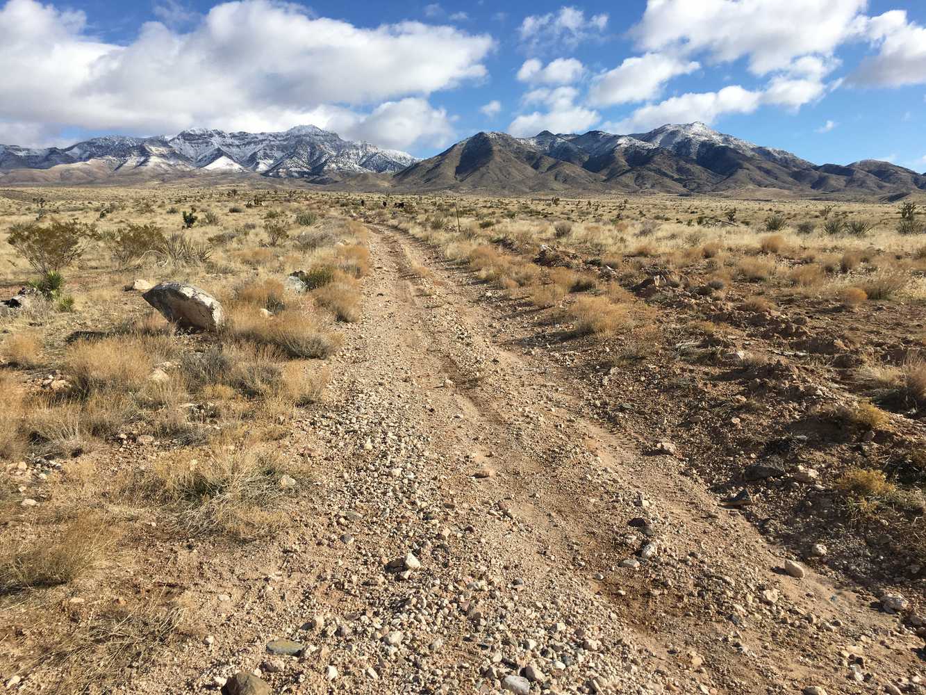
Castle Cliffs OHV trail is a scenic desert ride in a unique corner of Southwest Utah where the Great Basin transitions into the Mojave Desert. This area is part of the Beaver Dam Wash National Conservation Area (NCA), please stay on established roads and marked trails. This is a great trail adventure in the winter, early spring and fall. Below you will find map resources and some suggestions for riding in this area.
Our ride took about five hours at 12 mph covering a distance of 50 miles. Riding consists of mostly graded county roads in the conservation area but some of the roads may be subject to washouts.
The trail begins directly off Old Highway 91 west of St. George, offering an escape from the bustling city while keeping the amenities of a first class resort town nearby. There are currently no facilities on this trail other than some primitive designated camping areas. Be sure to stock up on supplies before heading out.
- Directions From the North
- Directions from the South
- Facilities: No Facilities on the trail (some designated primative camping), Fuel, Food and Lodging in nearby St George, Utah
- OHVs: All sizes. No width limits. ATVs, MCs, UTVs, 4x4s on most trails. Riding is restricted to designated trails.
- Terrain: Mostly Graded County Roads
- Signage: The main routes have adequate signage
- KML File for Google Maps
- GPX File for your Garmin GPS or other Apps
- The closest medical help is St. George Regional Hospital. 1380 E Medical Center Drive, St George, UT 84790. (435) 251-1000, Dial 9-1-1 for emergencies. Washington County Sheriff: 620 S 5300 W, Hurricane, UT 84737 (435) 656-6500. Dial 9-1-1 for emergencies. Utah Highway Patrol: Dial 9-1-1 We highly recommend you purchase a Utah Search and Rescue Assistant Card (USARA), learn more: https://secure.utah.gov/rescue/
GAIA
We highly recommend you get GAIA GPS for your mobile device. GAIA GPS will allow you to download this trail complete with the photos you see here so you can be sure where you are at all times. Simply install the GAIA GPS app and save this trail from the button below.
Here is the 360 view at the trailhead. Feel free to tour around a bit inside Google Street Views. We have recorded the trail in 360 and it is now part of Google Street Views so you can take a virtual tour of the trail to see if it is for you. We’ve made it a bit easier to navigate, scroll down and you will see more 360 embedded tours as we encounter intersections, trail markers or interesting places along the trail.
On any image, you can click the ‘X’ in the upper right corner and the view will change to an overview map showing the Google Street View blue lines. You can click anywhere on that blue line and drop down to the 360 ground-level views at that point.
You can move the image 360 degrees, click the arrow to move further down the trail and zoom in and out to take a closer look. Clicking the box in the upper right-hand corner will enlarge to full screen for a better view.

