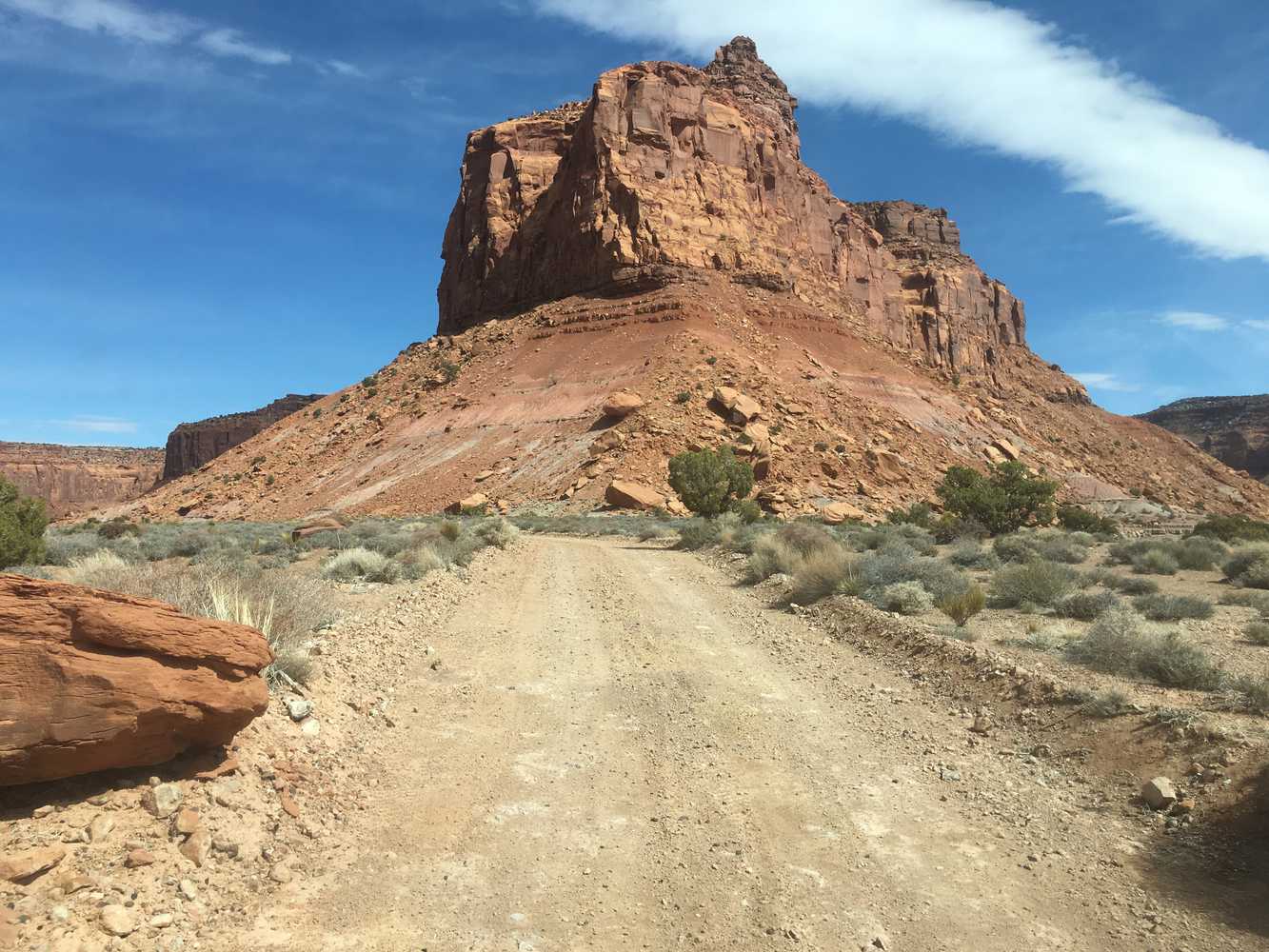
The Big Ridge OHV trail will take you on a remote desert drive riding among buttes, canyons, and on top of benches with views that are hard to describe with words or pictures. We hope this will give you a good preview of a great trail for experienced riders, and we would strongly suggest taking some friends along and letting those at home know where you are going. Walking out of this area really isn’t an option, and it is remote.
The start of this ride is just past the Hite marina and campground, right next to the Colorado River. We spent nine hours riding the trail for over 100 miles at approximately 12 mph. You will want to plan on a long day out to allow for plenty of time for getting back. Camping is available at the Hite Marina campground. There is also a small service station in Hite where you can stop to grab gas and a snack before you head out for the day.
- Directions From the North
- Directions from the South
- Facilities: No Facilities on the trail. Fuel, food and lodging in nearby Hanksville
- OHVs: ATVs, MCs, UTVs, High Clearance 4x4s on most trails. Riding is restricted to designated trails. Street-legal OHVs required if driving on trails in the Glen Canyon National Recreation Area.
- Terrain: Sandy backcountry trail, some rocky areas, steep grades
- Signage: BLM Route Markers and Carsonites / well-marked
- KML File for Google Maps
- GPX File for your Garmin GPS or other apps
- Closest medical facilities are in Richfield or Moab. Utah Highway Patrol: Dial 9-1-1. We highly recommend you purchase a Utah Search and Rescue Assistant Card (USARA), learn more: https://secure.utah.gov/rescue/
- NATIONAL PARK SERVICES: General Information: 928.608.6200 Bullfrog Ranger Station: (435) 684.7400 Emergency: (928) 608-6300 Emergency: (800) 582-4351
- Garfield Sheriff’s Office Search and Rescue • (435) 676-2678
- Emergencies: Wayne County Sheriff • (435) 836-1308
GAIA
We highly recommend you get GAIA GPS for your mobile device. GAIA GPS will allow you to download this trail complete with the photos you see here so you can be sure where you are at all times. Simply install the GAIA GPS app and save this trail from the button below.
Here is the 360 view at the trailhead. Feel free to tour around a bit inside Google Street Views. We have recorded the trail in 360 and it is now part of Google Street Views so you can take a virtual tour of the trail to see if it is for you. We’ve made it a bit easier to navigate, scroll down and you will see more 360 embedded tours as we encounter intersections, trail markers or interesting places along the trail.
On any image, you can click the ‘X’ in the upper right corner and the view will change to an overview map showing the Google Street View blue lines. You can click anywhere on that blue line and drop down to the 360 ground-level views at that point.
You can move the image 360 degrees, click the arrow to move further down the trail and zoom in and out to take a closer look. Clicking the box in the upper right-hand corner will enlarge to full screen for a better view.
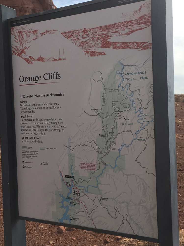
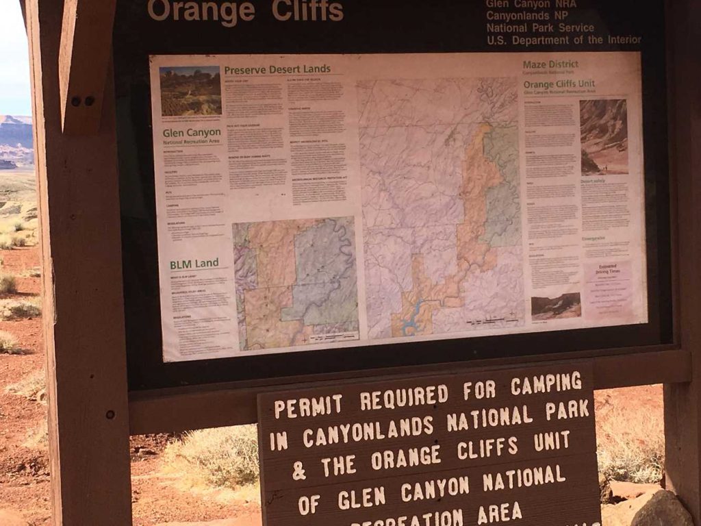
There are a couple of signs with good information and maps at the start of the trail. We recommend stopping to check them out so you can be sure to follow the restrictions in the area.