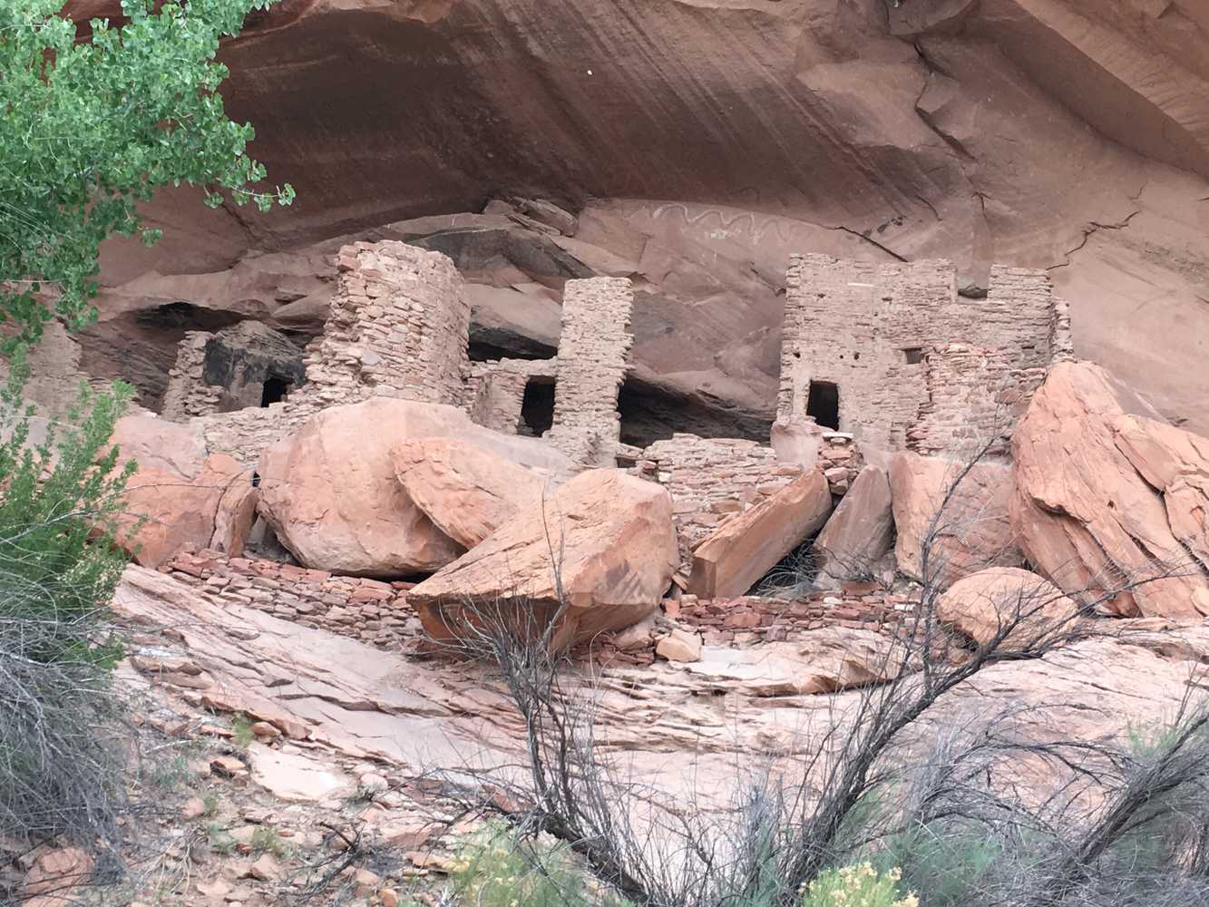
The River House Ruins trail is a quick, fun ride to get a little taste of some Southern Utah history. These ancient Pueblo ruins feature one and two story rooms, a kiva and some pictographs. This landmark is located about 12 miles from Bluff, UT, along the San Juan River. The ride will take you 12.1 miles and about 1.5 hours. There are several things to see along the trail, all with signage and good information.
Because this is a short ride, you may choose to check out another trail in the same area. Some good options are the Arch Canyon and Comb Ridge Valley trails. You might be able to do all three in one day, but two may be more realistic. These great trails make this a good area to spend a couple of days exploring.
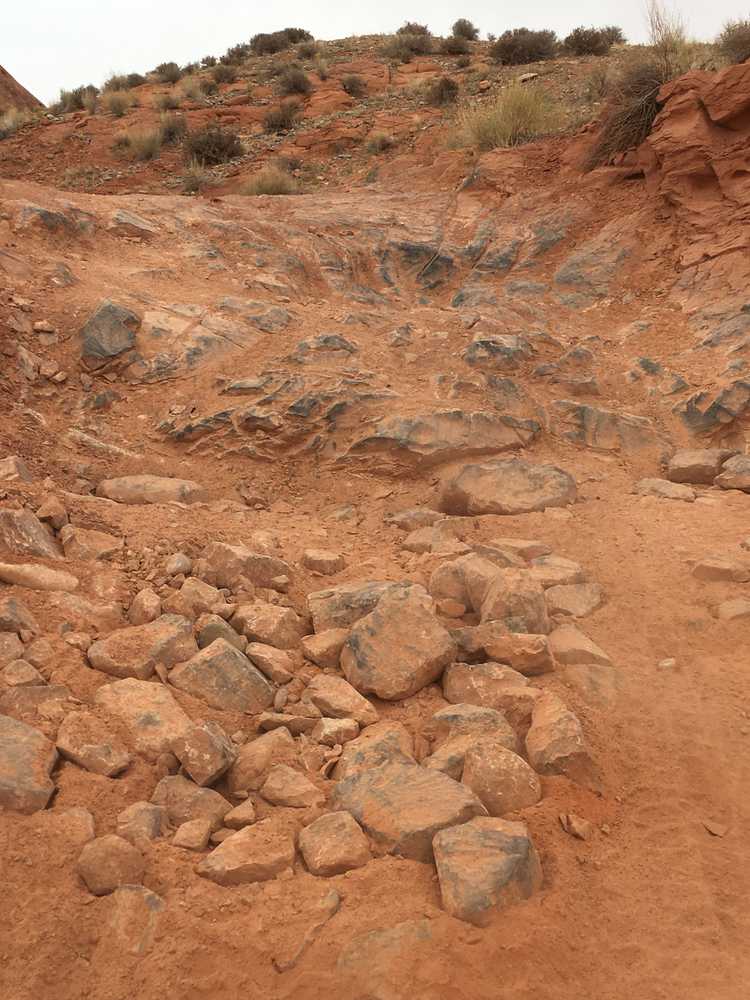
The terrain is mostly comprised of maintained dirt roads, with some rocky areas. This trail provides great opportunities to stop, get out, take in the views and do some exploring.
You can also find just about every amenity you need in Bluff or Blanding including gas, lodging and food.
GAIA
We highly recommend you get GAIA GPS for your mobile device. GAIA GPS will allow you to download this trail complete with the photos you see here so you can be sure where you are at all times. Simply install the GAIA GPS app and save this trail from the button below.
- Directions From the North
- Directions from the South
- Facilities: Lodging, restaurants, fuel and groceries are available in the town of Blanding.
- OHVs: Partly dirt and gravel roads. Mostly OHV trail-style riding.
- Terrain: Partly dirt and gravel roads. Mostly OHV trail-style riding.
- Signage: signs at most intersections noting distance to landmarks and direction of travel.
- KML File for Google Maps
- GPX File for your Garmin GPS or other Apps
- Emergencies: Blue Mountain Hospital Emergency Room - 802 S 200 W, Blanding, UT 84511
- Blanding City Police Department: Dial 9-1-1 for emergencies or Non-Emergency Dispatch: 435-678-2916. We highly recommend you purchase a Utah Search and Rescue Assistant Card (USARA) learn more: https://secure.utah.gov/rescue/
Here is the 360 view at the trailhead. Feel free to tour around a bit inside Google Street Views. We have recorded the trail in 360 and it is now part of Google Street Views so you can take a virtual tour of the trail to see if it is for you. We’ve made it a bit easier to navigate, scroll down and you will see more 360 embedded tours as we encounter intersections, trail markers or interesting places along the trail.
On any image, you can click the ‘X’ in the upper right corner and the view will change to an overview map showing the Google Street View blue lines. You can click anywhere on that blue line and drop down to the 360 ground-level views at that point.
You can move the image 360 degrees, click the arrow to move further down the trail and zoom in and out to take a closer look. Clicking the box in the upper right-hand corner will enlarge to full screen for a better view.