

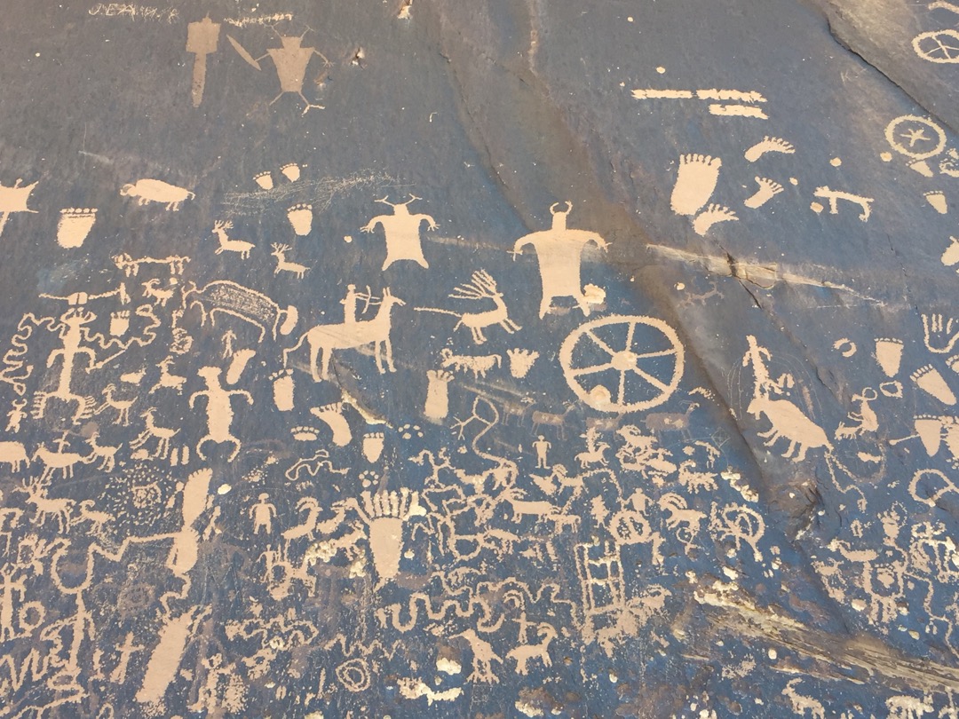
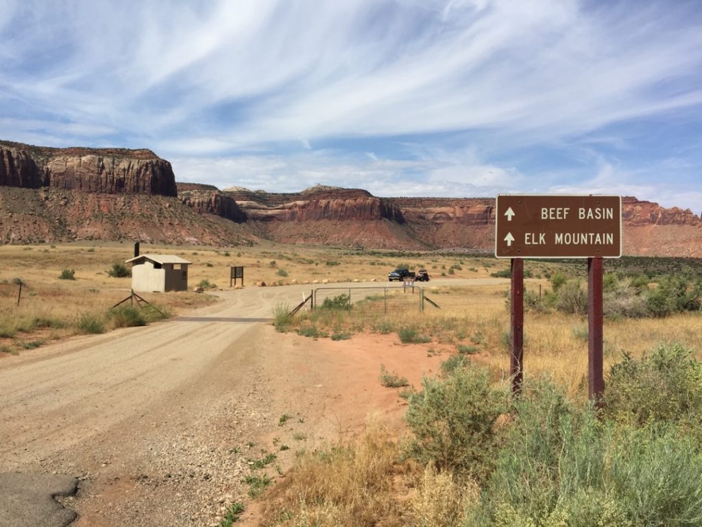
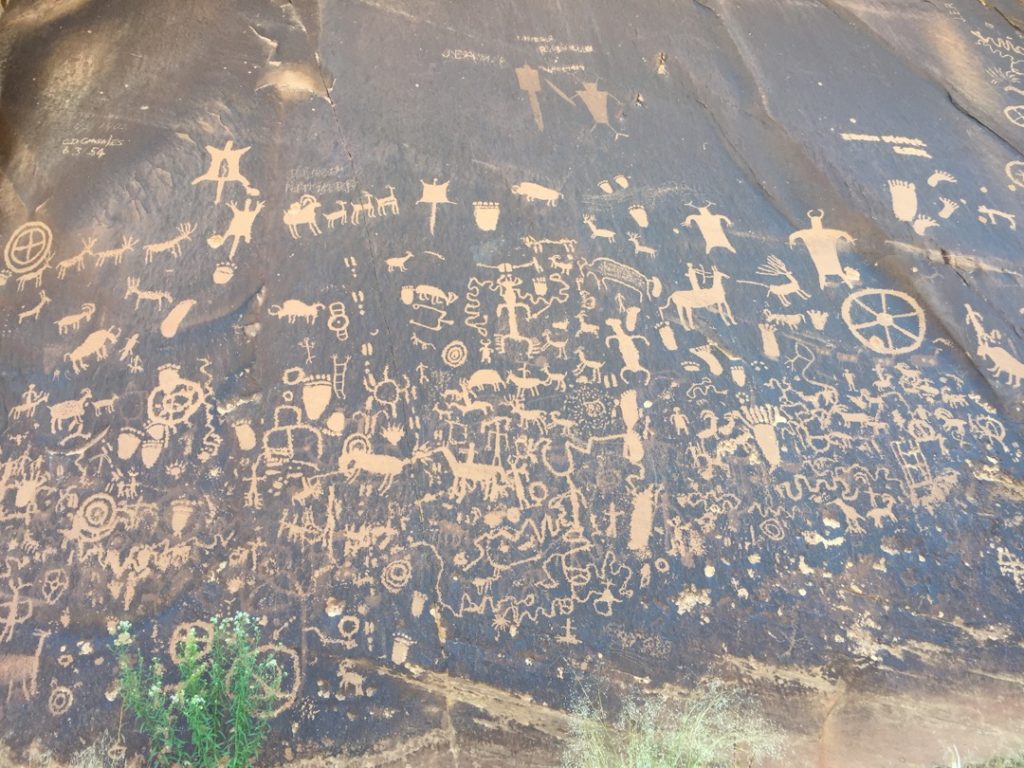
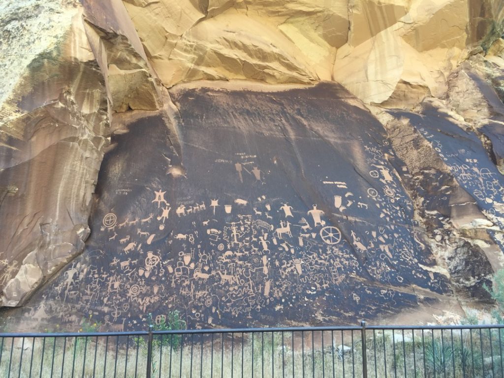
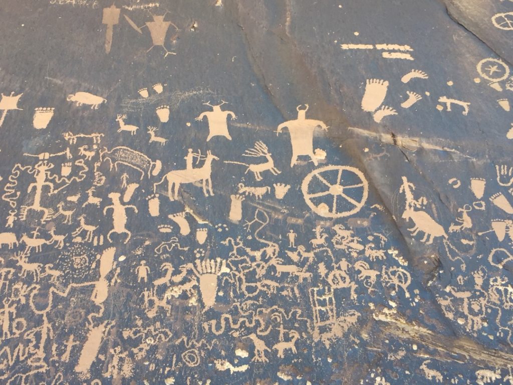
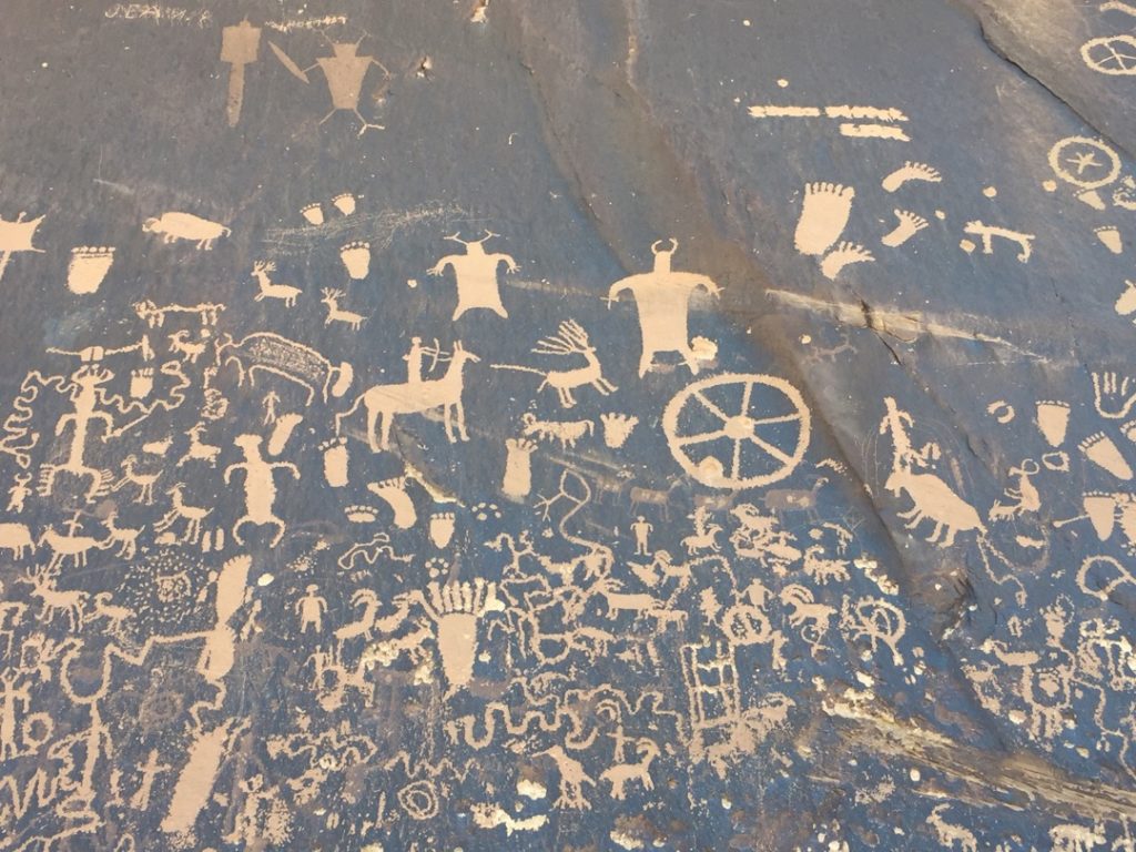
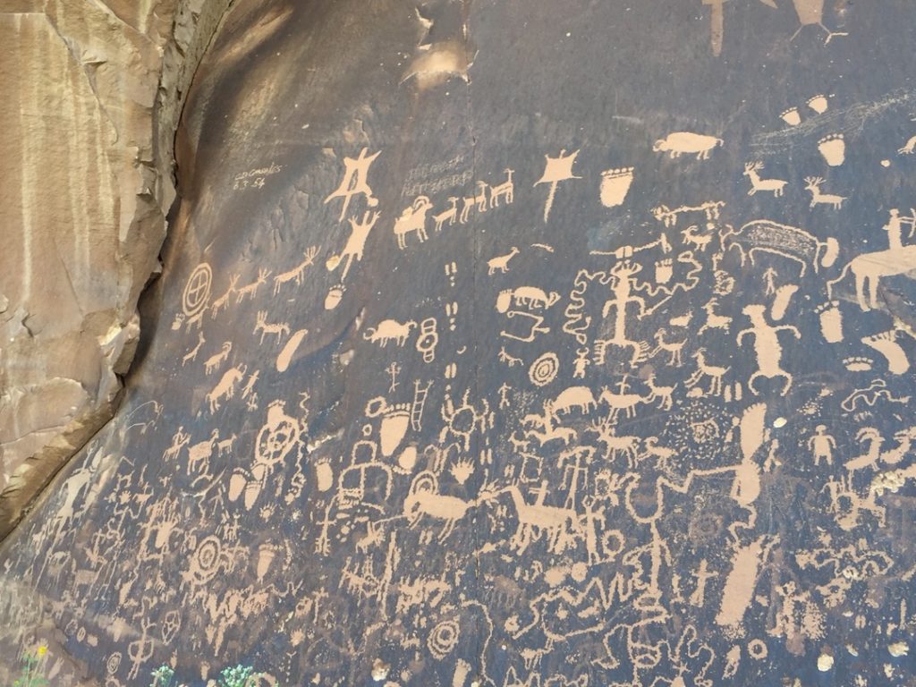
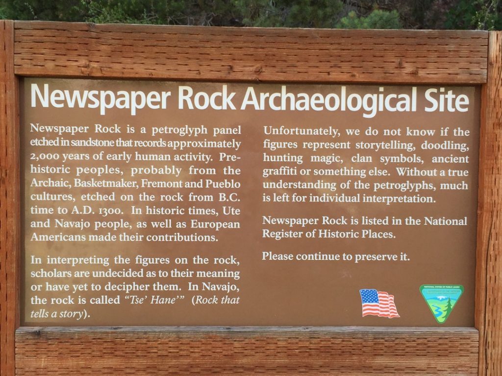
The Bridger Jack Mesa trails are located in San Juan County Utah approximately miles South West of Moab, and 55 miles North West of Blanding Utah, with good parking located off Utah Hwy 211. The Trailhead is right at the southern end of Canyonlands NP, make sure you stop at Newspaper Rock along the way (Photo above is Newspaper Rock). There are approximately 33 miles of trails and gravel roads in this trail, and a LOT more in the general area. It will take you all day(s) to explore this system and it is well worth the trip. There are no services so stock up on anything you need before leaving Moab (or Monticello if you are coming from the South) This is a great place to get away and enjoy some solitude while exploring a seldom seen part of Utah. The riding is pleasant and scenic, trails vary from easy to intermediate.
- Directions From the North
- Directions from the South
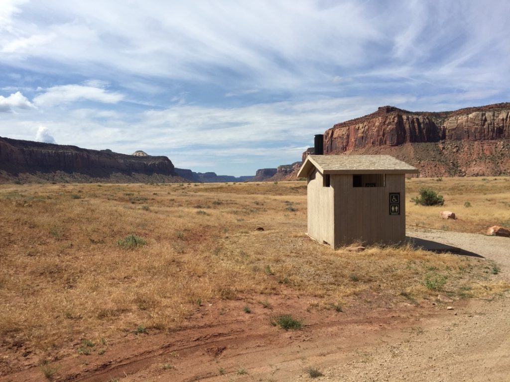
- Facilities: Vault Toilet at Trailhead only
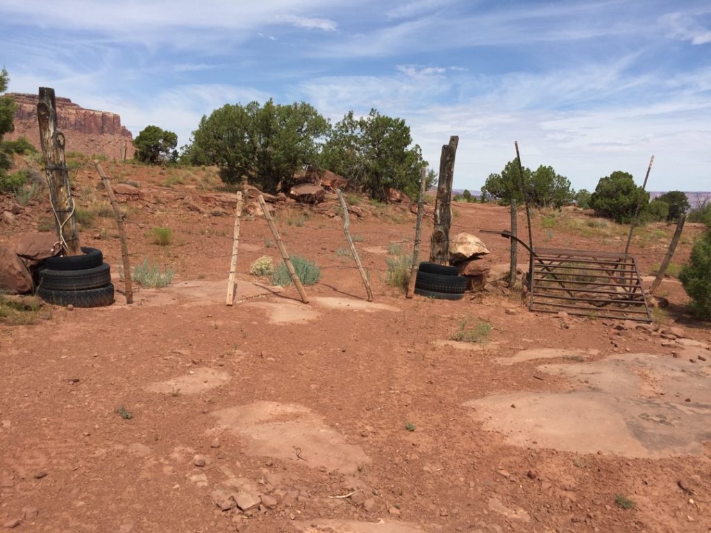
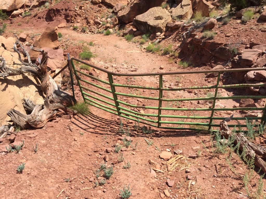
- You may encounter Gates, Leave them as you find them.
- OHVs: All sizes. No width limits. ATV’s, MC’s, UTV’s, 4x4s on most trails.
- Signing: Most Trails have adequate signage
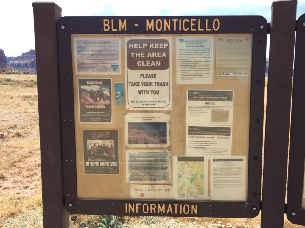
- Maps: Available in Delta at the Millard County Tourism office 75W Main.
- Online Printable Map
- KML File for Google Maps
- GPX File for your Garmin GPS or other Apps
We highly recommend you get GAIA GPS for your smartphone or tablet mobile device. GAIA GPS will allow you to download this trail complete with the photos you see here so you can be sure where you are at all times. Simply install the GAIA GPS app and save this trail from here: DOWNLOAD THIS TRAIL
Here is an embedded live link to GAIA GPS to allow you to explore the trail. Each of the blue markers indicates that a photo was taken at that location. Unfortunately, the GPS seems to have skipped the return trip, I blame the operator. The good news is that the trail is clearly obvious as the point where it stopped recording is very near a very good gravel road that is the return trip. It’s pretty hard to get lost if you stay on that gravel road back to the trailhead. To view the track and photos click here: GAIA GPS – Bridger Jack Mesa
Would you like to see the Bridger Jack Mesa Trail in an animated 3D flyover map? If it appears to pause that is likely a place I stopped for a while. It will continue, just wait a few moments. Again, the end segment of the GPS track was lost so it appears to fly straight back to the Trailhead at the end. Oops. 3D Flyover Link.
Here is the 360 view at the trailhead. Feel Free to tour around a bit inside Google Stree Views. We have recorded the trail in 360 and it is now part of Google Street Views so you can take a virtual tour of the trail to see if it is for you. While we didn’t have time to ride all of the trails we think you will find this fairly representative of what you will find. We’ve made it a bit easier to navigate, scroll down and you will see more 360 embedded tours as we encounter intersections, trail markers or interesting places along the trail.
On any image, you can click the ‘X’ in the upper right corner and the view will change to an overview map showing the Google Street View Blue lines. You can click anywhere on that blue line and drop down to the 360 ground-level views at that point.
You can move the image 360 degrees, click the arrow to move further down the trail and zoom in and out to take a closer look. Clicking the box in the upper right-hand corner will enlarge to full screen for a better view.
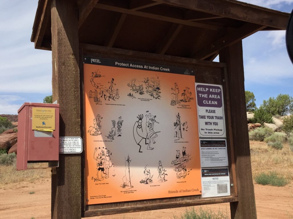
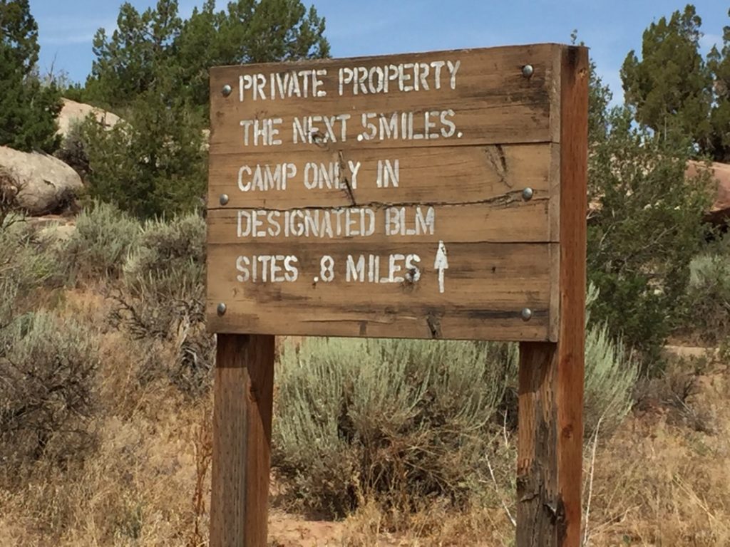
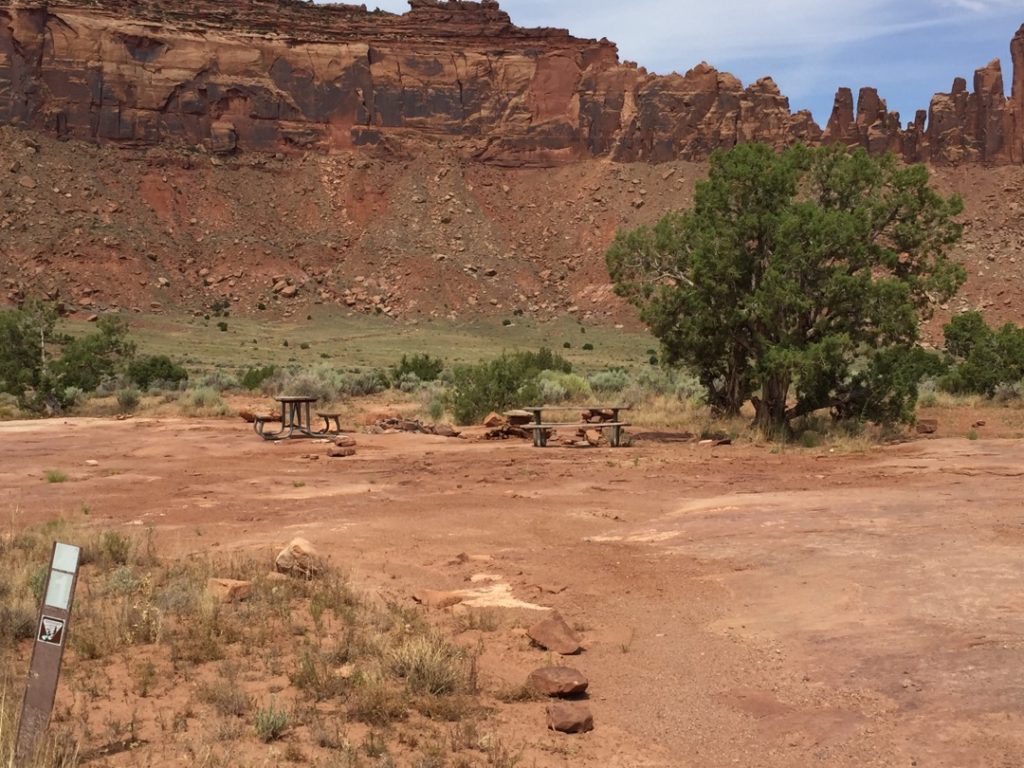
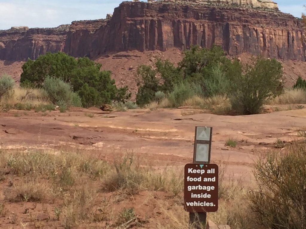
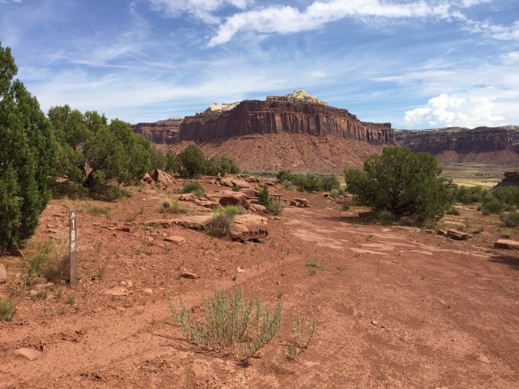
You will find a number of BLM designated, primitive camping spots near the beginning of the trail. Some have picnic tables. Some just a fire ring. This is a GREAT place to camp and seldom has any campers. Stop at the Kiosk and pay your fee if you plan to stay overnight.
This is a cattle control gate, not a vehicle control gate. While they have installed a 50″ wide bypass to make it easy for ATV’s there is no width restriction on this trail. Feel free to pass through the gate (and any others you encounter), just put it back to the position where you found it. The ranchers will leave it open or close according to their needs.
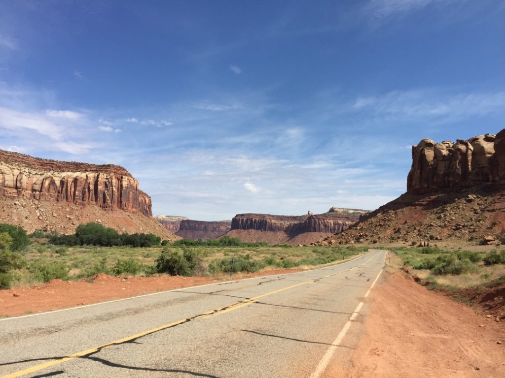
That Mesa on the right is inside Canyon Lands NP. This trail is truly like being allowed to ride through the middle of CanyonLands, just as spectacular and you will likely have it all to yourself as the ‘tourists’ prefer to pay entrance fees.
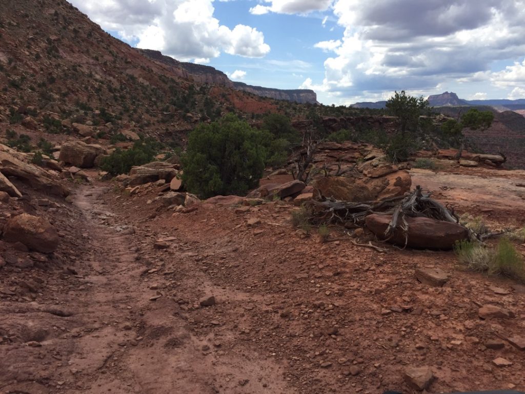
As you can see most of the trail is similar to this section. Sometimes a bit rocky but not bad and we made very good time through most of the trip.
It’s a shame there isn’t much of a view 🙂
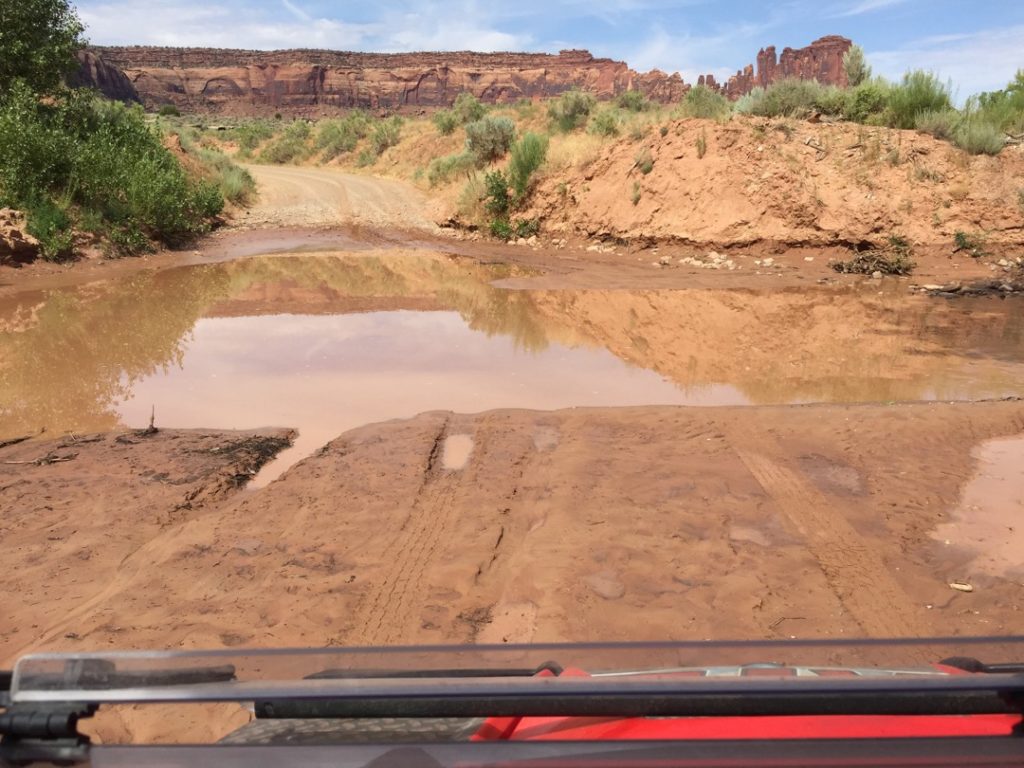
There are a few of these sketchy wash out areas making the trail more difficult for wider vehicles. Of course depending on the time of year these could be better or worse. The good news the cattle ranchers that use this road tend to keep it fit for a pickup to traverse so most OHV’s should not have a problem.
This is about the spot where the GPS…er stopped recording. Yeah, that’s the ticket.
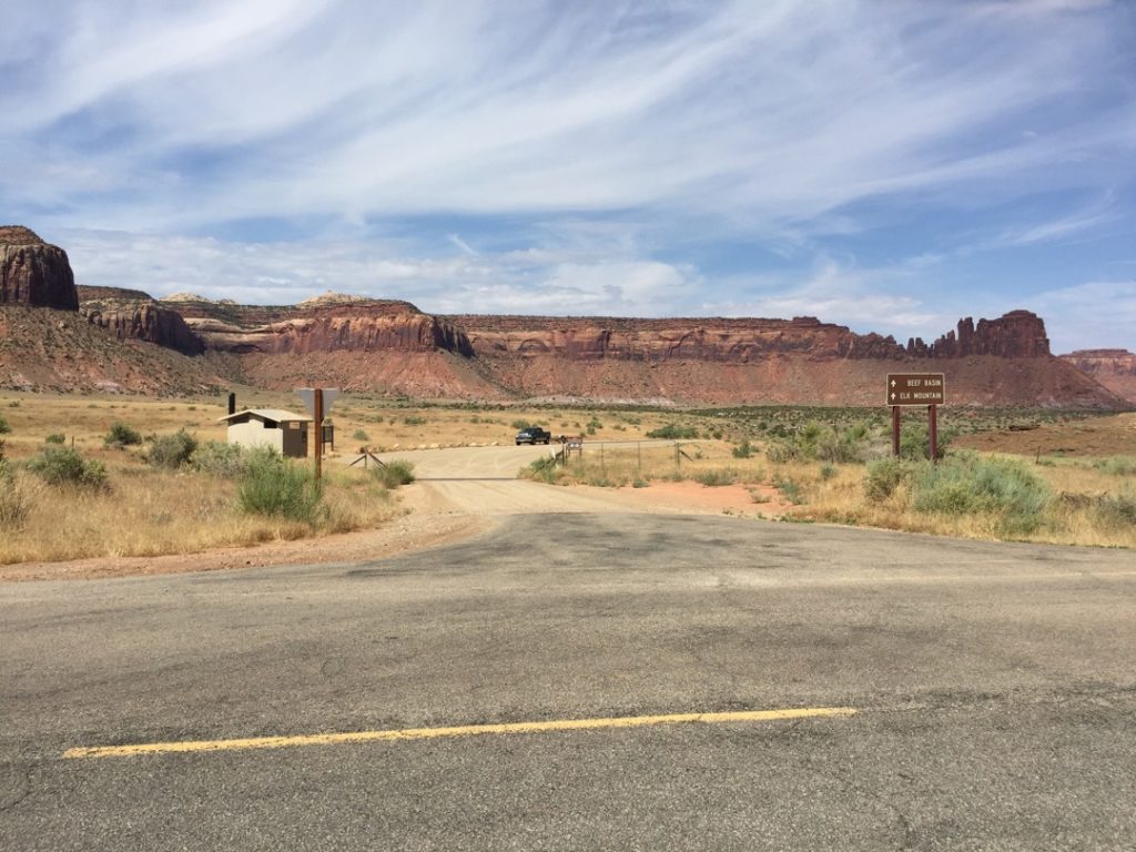
Luckily the only exit from the West side of Bridger Jack Mesa is on a Class B maintained County road that makes a quick but scenic trip back to the Trailhead.
Here we are on the graded gravel road. Just follow it to the left and it will take you right back around to the trailhead. If you go right to Beef Basin you could eventually cross West Mountain and drop into either Monticello or Blanding. We’ll save that for another day.
If you would like some variety this is your chance to hop onto the Stevens Canyon trail and ride the east side of the valley for a short way. However, if you take Stevens Canyon back to the south expect a rough ride.
Keep an eye on the cliffs, you might spot a few adventurous rock climbers.
Here you are back at the intersection where the Left turn will take you back around Bridger Jack Mesa again and the Right will take you back to the trailhead.
Here is a photo gallery of all of the Images we took along the way. Not necessarily in any order or sequence. Many are at trail intersections. You can see the photos and exactly where along the trail where taken: Click here for Photo Locations.
Emergencies
The closest medical help is Milford Hospital 23 miles south on HWY 257. Dial 911 for Emergencies.
Millard County Sheriff 911 or (435) 864-2755 or (435) 743-6223
Utah Highway Patrol (435) 743-6653
BLM Office in Fillmore (435)743-3123

