

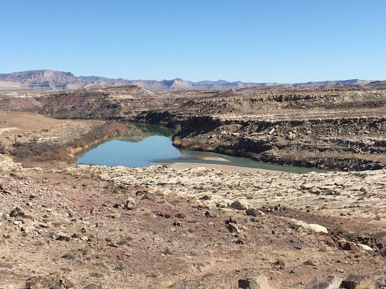
The Dry Lake Wash OHV Trail is a 60-mile, all-day ride in the desert. We spent six hours on the trail at an average speed of 10 mph. Riding consists of graded county roads, sand, and some areas of rocky two-track. Watch our videos from this trail for a closer glimpse of what you will find before you plan your trip.
You can base your trip right outside of Green River, right off interstate 70. Green River has options for lodging, restaurants and fuel. This is a great area to ride with access to hundreds of miles of trails and otherworldy desert scenery that makes up the San Rafael Desert.
- Directions From the North
- Directions from the South
- Facilities: Lodging, restaurants, fuel and groceries are all available in Green River. There are no services or rest stops on the trail.
- OHVs: All sizes. No width limits. ATVs, MCs, UTVs, 4x4s on most trails.
- Terrain: Intermediate - Mostly graded county roads with some more technical riding in wash bottoms and sand.
- Signage: Most trails have adequate signage but this is a good one to use your GPS on (see below).
- KML File for Google Maps
- GPX File for your Garmin GPS or other Apps
- The closest medical help is Green River Medical Center, 585 Main Street, Green River, UT 84525. Dial 9-1-1 for emergencies or (435) 564-3434. If a hospital is required, Castleview Hospital is in Price. 300 North Hospital Drive, Price, UT 84501. Open 24 hours (435) 637-4800
- Emery County Sheriff – Green River: Dial 9-1-1 or (435) 381-2404; Utah Highway Patrol – Green River: Dial 9-1-1 or (435) 564-3474. BLM Office - Price: (435) 636-3600. We highly recommend you purchase a Utah Search and Rescue Assistant Card (USARA), learn more: https://secure.utah.gov/rescue/
Watch the Trail in Hyper-Lapse!
GAIA
We highly recommend you get GAIA GPS for your mobile device. GAIA GPS will allow you to download this trail complete with the photos you see here so you can be sure where you are at all times. Simply install the GAIA GPS app and save this trail from the button below.
Here is the 360 view at the trailhead. Feel free to tour around a bit inside Google Street Views. We have recorded the trail in 360 and it is now part of Google Street Views so you can take a virtual tour of the trail to see if it is for you. We’ve made it a bit easier to navigate, scroll down and you will see more 360 embedded tours as we encounter intersections, trail markers or interesting places along the trail.
On any image, you can click the ‘X’ in the upper right corner and the view will change to an overview map showing the Google Street View blue lines. You can click anywhere on that blue line and drop down to the 360 ground-level views at that point.
You can move the image 360 degrees, click the arrow to move further down the trail and zoom in and out to take a closer look. Clicking the box in the upper right-hand corner will enlarge to full screen for a better view.

