

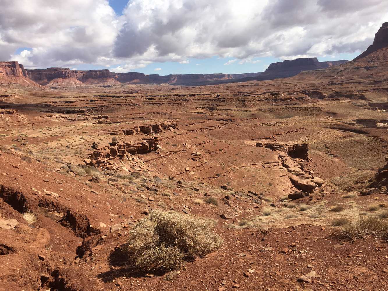
The Poison Spring OHV trail will take you on a remote desert drive crossing the Dirty Devil and riding among buttes and canyons that are hard to describe with words or pictures. We hope this will give you a good preview of a great trail for experienced riders, and we would strongly suggest taking some friends along and letting those at home know where you are going. Walking out of this area really isn’t an option, and it is remote.
Butch Cassidy is said to have hid out here among the remote canyons and red rocks in addition to the indigenous people who made these canyons their homes. Please respect the trails and any artifacts you may come across. Please also note the trail follows the Fiddler Butte Wilderness Study Area boundary just before you cross the Dirty Devil (that boundary also happens to run along the bench of the trail with a steep drop off so staying on the road is highly encouraged).
Basing out of Hanksville, Utah (17 miles from the trailhead) allows for close access to the trailhead to get an early start on the trail without a lot of additional travel. We spent six hours riding the trail for 70 miles at approximately 12 mph. You will want to plan on a long day out to allow for plenty of time for getting back. We rode the trail as an out and back, but there are trails in the area that will take you all the way back to highway 95 at Hite near Lake Powell (you will need a street-legal machine to ride within the boundaries of the Glen Canyon National Recreation Area). You can shorten the trip by turning around at the Dirty Devil or the Dirty Devil may turn you around which still makes for five hours of fantastic riding.
- Directions From the North
- Directions from the South
- Facilities: No Facilities on the trail. Fuel, food and lodging in nearby Hanksville
- OHVs: ATVs, MCs, UTVs, High Clearance 4x4s on most trails. Riding is restricted to designated trails. Street-legal OHVs required if driving on trails in the Glen Canyon National Recreation Area.
- Terrain: Sandy backcountry trail, water crossing, steep grades
- Signage: BLM Route Markers and Carsonites / well-marked
- KML File for Google Maps
- GPX File for your Garmin GPS or other apps
- Closest medical facilities Richfield (111 miles), Price (114 miles), Moab (108 miles). Utah Highway Patrol: Dial 9-1-1. We highly recommend you purchase a Utah Search and Rescue Assistant Card (USARA), learn more: https://secure.utah.gov/rescue/
- NATIONAL PARK SERVICES: General Information: 928.608.6200 Bullfrog Ranger Station: (435) 684.7400 Emergency: (928) 608-6300 Emergency: (800) 582-4351
- Garfield Sheriff’s Office Search and Rescue • (435) 676-2678
- Emergencies: Wayne County Sheriff • (435) 836-1308
GAIA
We highly recommend you get GAIA GPS for your mobile device. GAIA GPS will allow you to download this trail complete with the photos you see here so you can be sure where you are at all times. Simply install the GAIA GPS app and save this trail from the button below.
Here is the 360 view at the trailhead. Feel free to tour around a bit inside Google Street Views. We have recorded the trail in 360 and it is now part of Google Street Views so you can take a virtual tour of the trail to see if it is for you. We’ve made it a bit easier to navigate, scroll down and you will see more 360 embedded tours as we encounter intersections, trail markers or interesting places along the trail.
On any image, you can click the ‘X’ in the upper right corner and the view will change to an overview map showing the Google Street View blue lines. You can click anywhere on that blue line and drop down to the 360 ground-level views at that point.
You can move the image 360 degrees, click the arrow to move further down the trail and zoom in and out to take a closer look. Clicking the box in the upper right-hand corner will enlarge to full screen for a better view.

