

Great Western Trail Loop OHV Trail is a 50-mile day ride across the sagebrush covered flats between the Grand Staircase-Escalante National Monument and the border of the Vermilion Cliffs National Monument. Riding is generally easy going on the well-maintained albeit somewhat sandy county roads. The scenery varies from rolling hills of sagebrush and junipers to the brightly colored rock layers that make up the Vermilion Cliffs National Monument to the east. We ran the trail in 5.5 hours averaging 9 mph. Near the end of the ride is a 160-foot deep limestone sinkhole that can be seen from the highway called Eagle Sink (don’t go near the edge there is a lot of loose rock and winds can come up fast). More info on Eagle Sink Hole.
Kanab serves as a great base-camp for your adventure before venturing off into one of the most remote areas in the state. Proximity to civilization and harsh desert conditions make this an intermediate ride though the roads are relatively easy riding. Never ride alone and make sure people know where you are going and when you intend to return.
- Directions From the North
- Directions from the South
- Lodging, restaurants, fuel and groceries are all available in Kanab, Utah. There are some trailheads, pit toilets and parking areas on the return trip of the loop as you cross back into Utah near the Vermillion Cliffs National Monument.
- OHVs: All sizes. No width limits. ATVs, MCs, UTVs, 4x4s on most trails.
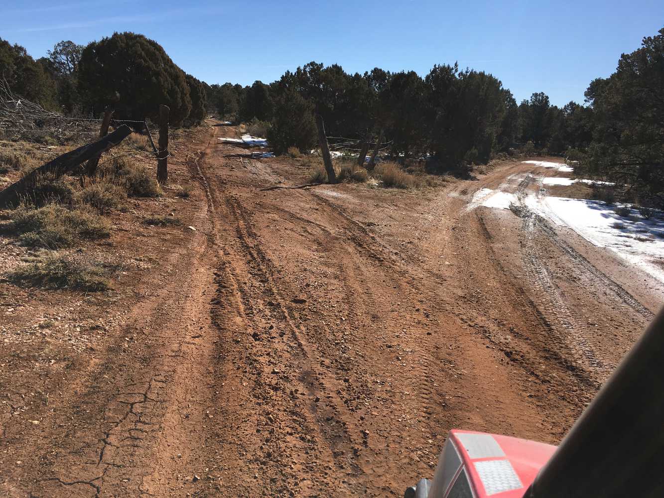
- Terrain: Mostly graded county roads.
- Signage: This trail is not well signed, this is a good one to use your GPS on (see below).
- KML File for Google Maps
- GPX File for your Garmin GPS or other Apps
- The closest medical help is the hospital in Kanab • 355 N. Main Street, Kanab, UT 84741 (435) 644-5811 (Open 24 hours) or in Page, AZ, 501 N Navajo Drive. Open 24 hours (928) 645-2424.
- Kane County Sheriff: Dial 9-1-1 for emergencies or Non-Emergency Dispatch: (435) 644-2349; Utah Highway Patrol: Dial 9-1-1
GAIA
We highly recommend you get GAIA GPS for your mobile device. GAIA GPS will allow you to download this trail complete with the photos you see here so you can be sure where you are at all times. Simply install the GAIA GPS app and save this trail from the button below.
Here is the 360 view at the trailhead. Feel free to tour around a bit inside Google Street Views. We have recorded the trail in 360 and it is now part of Google Street Views so you can take a virtual tour of the trail to see if it is for you. We’ve made it a bit easier to navigate, scroll down and you will see more 360 embedded tours as we encounter intersections, trail markers or interesting places along the trail.
On any image, you can click the ‘X’ in the upper right corner and the view will change to an overview map showing the Google Street View blue lines. You can click anywhere on that blue line and drop down to the 360 ground-level views at that point.
You can move the image 360 degrees, click the arrow to move further down the trail and zoom in and out to take a closer look. Clicking the box in the upper right-hand corner will enlarge to full screen for a better view.

