

The trail from Marysvale to Fremont State Park is one of many side trails of the Paiute ATV Trail System. Marysvale is a great location to base from to access the Paiute trail system with a number of places to stay in town or nearby such as Piute and Otter Creek State parks. We rode right out of town and chose to run the desert portion of the trail first so we could grab a burger and a shake in Joseph and ride the mountain portion of the trail in the afternoon.
This trail has some great attractions to check out to make this a full day ride. We ran the 60-mile trail in five hours at approximately 12 mph. Use the information below to plan your trip and be sure to include stops in the town of Joseph and Fremont Indian State Park.
- Directions From the North
- Directions from the South
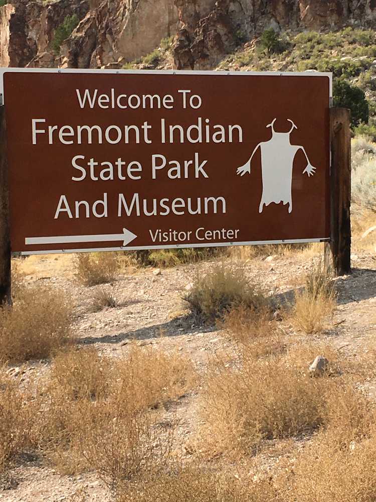
- Marysvale: lodging, dining, gas; Joseph: gas, convenience store, limited lodging; Fremont State Park: camping, restrooms, museum; Silver King Mine: pit toilet and parking
- OHVs: Street Legal OHVs (you will drive through some towns on paved roads); high clearance 4x4s on most trails.
- Terrain: Easy - County and Forest Roads
- Signage: Well signed as part of the Paiute ATV System.
- KML File for Google Maps
- GPX File for your Garmin GPS or other apps
- Sevier Valley Medical Center (Intermountain Healthcare), 1000 North Main, Richfield, UT 84701 (435) 893-4100
- Piute County Sheriff – Dial 9-1-1 or (435) 577-2893
GAIA
We highly recommend you get GAIA GPS for your mobile device. GAIA GPS will allow you to download this trail complete with the photos you see here so you can be sure where you are at all times. Simply install the GAIA GPS app and save this trail from the button below.
Here is the 360 view at the trailhead. Feel free to tour around a bit inside Google Street Views. We have recorded the trail in 360 and it is now part of Google Street Views so you can take a virtual tour of the trail to see if it is for you. We’ve made it a bit easier to navigate, scroll down and you will see more 360 embedded tours as we encounter intersections, trail markers or interesting places along the trail.
On any image, you can click the ‘X’ in the upper right corner and the view will change to an overview map showing the Google Street View blue lines. You can click anywhere on that blue line and drop down to the 360 ground-level views at that point.
You can move the image 360 degrees, click the arrow to move further down the trail and zoom in and out to take a closer look. Clicking the box in the upper right-hand corner will enlarge to full screen for a better view.

