

The Maple Creek Trail in Sanpete county is a beautiful, short ride through the mountains near the small town of Freedom, UT. This trail takes you about seven miles up the mountain past several hiking trailheads and campgrounds. We turned around near Joe Spring, but you can make it a longer trip and continue on all the way back near Fountain Green.
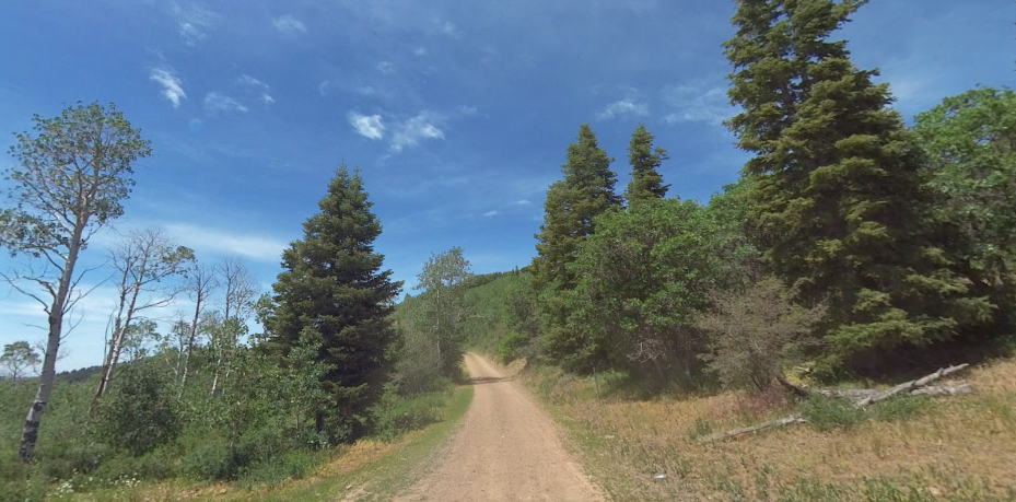
The terrain is mostly comprised of well maintained dirt roads.
This trail provides great opportunities to stop, get out and take in the views.
You can also find just about every amenity you need including gas, lodging and food in the town of Moroni or Ephraim.
GAIA
We highly recommend you get GAIA GPS for your mobile device. GAIA GPS will allow you to download this trail complete with the photos you see here so you can be sure where you are at all times. Simply install the GAIA GPS app and save this trail from the button below.
- Directions From the North
- Directions from the South
- Facilities: Lodging, restaurants, fuel and groceries are available in the town of Moroni or Ephraim.
- OHVs: Mostly well maintained dirt roads with some OHV trail-style riding.
- Terrain: Mostly well maintained dirt roads with some gravel areas.
- Signage: signs at most intersections noting distance to landmarks and direction of travel.
- KML File for Google Maps
- GPX File for your Garmin GPS or other Apps
- Emergencies: Sanpete County Hospital: 1100 S Medical Dr, Mt Pleasant, UT 84647
- Moroni Police Department: Dial 9-1-1 for emergencies or Non-Emergency Dispatch: 435-436-8911. We highly recommend you purchase a Utah Search and Rescue Assistant Card (USARA) learn more: https://secure.utah.gov/rescue/
Here is the 360 view at the trailhead. Feel free to tour around a bit inside Google Street Views. We have recorded the trail in 360 and it is now part of Google Street Views so you can take a virtual tour of the trail to see if it is for you. We’ve made it a bit easier to navigate, scroll down and you will see more 360 embedded tours as we encounter intersections, trail markers or interesting places along the trail.
On any image, you can click the ‘X’ in the upper right corner and the view will change to an overview map showing the Google Street View blue lines. You can click anywhere on that blue line and drop down to the 360 ground-level views at that point.
You can move the image 360 degrees, click the arrow to move further down the trail and zoom in and out to take a closer look. Clicking the box in the upper right-hand corner will enlarge to full screen for a better view.

