

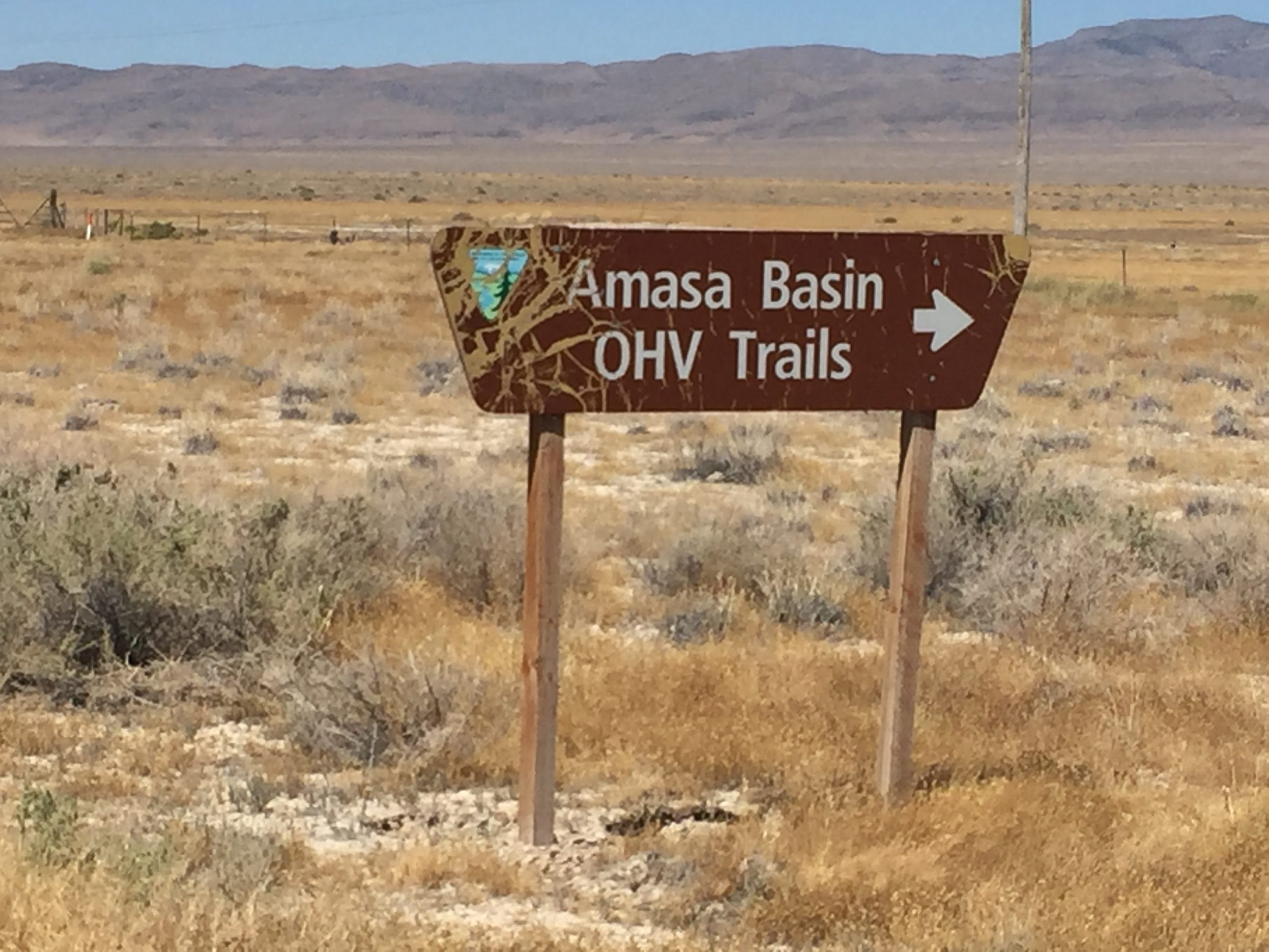
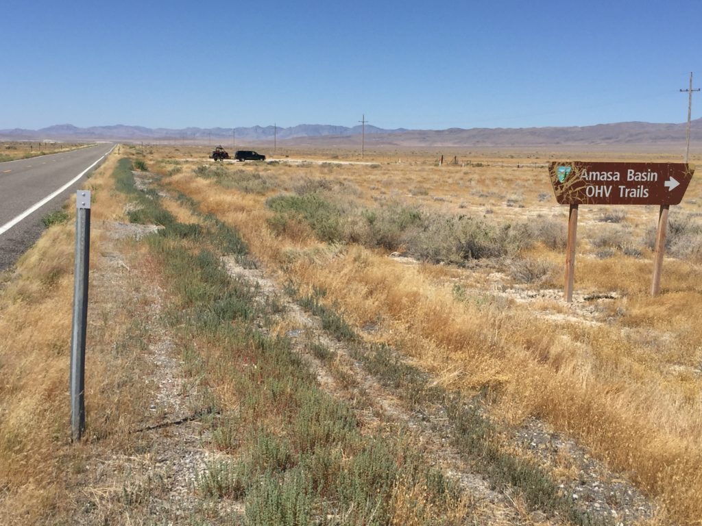
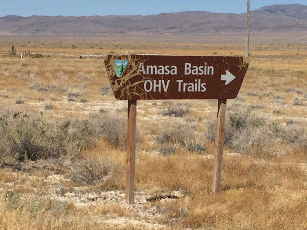
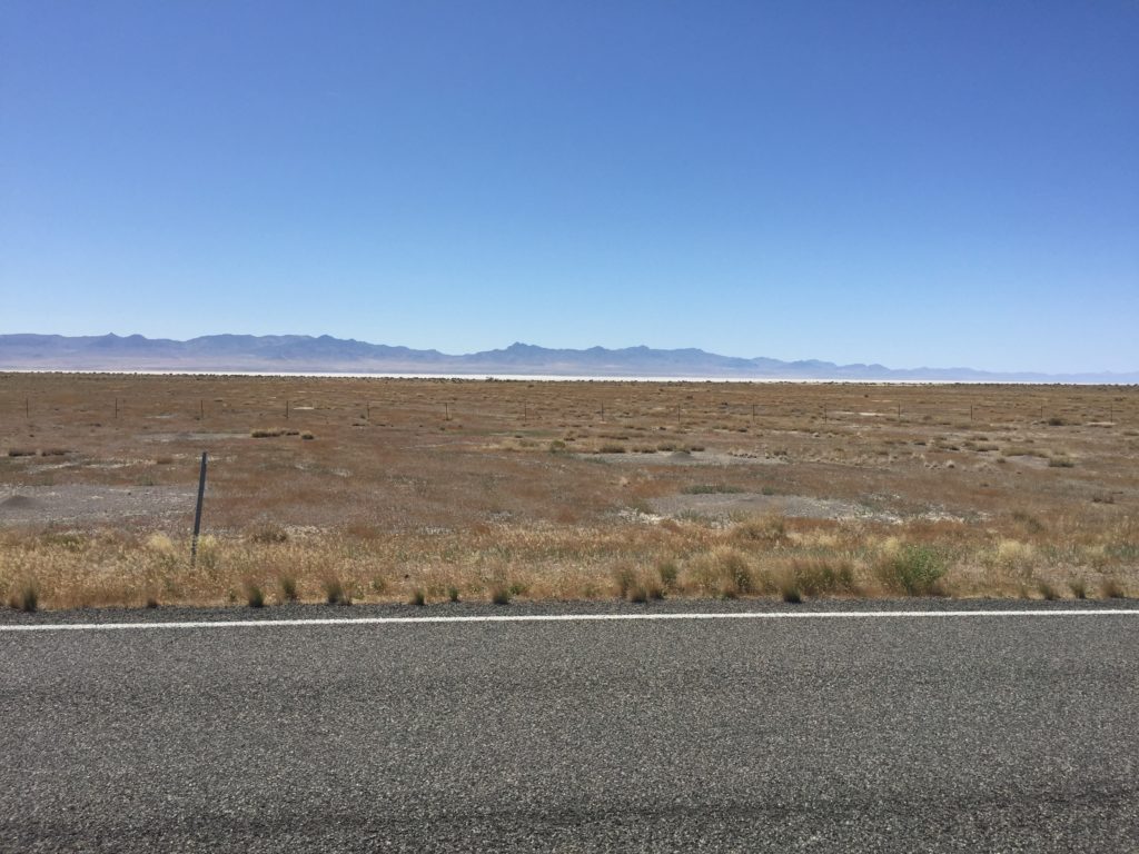
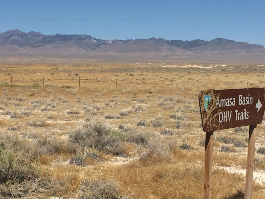
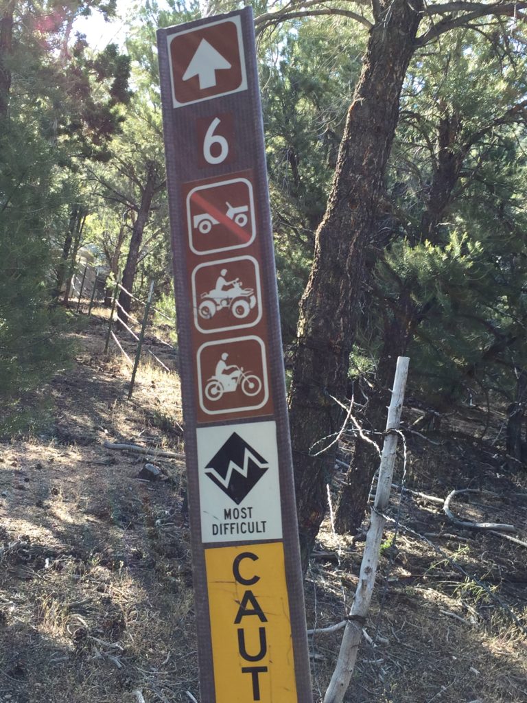
The Amasa Basin OHV trails are located in Millard County Utah approximately 51 miles west of Delta, with good parking located off Utah Hwy 50. There are approximately 33 miles of trails and gravel roads in this trail system. It will take you all day to explore this system and it is well worth the trip. There is a large sinkhole (stay outside the fence) and the view from the top is identical to that from Notch Peak without the 8-mile hike. There are no services so stock up on anything you need before leaving Delta (or Milford if you are coming from the South) This is a great place to get away and enjoy some solitude while exploring a seldom seen part of Utah. The riding is pleasant and scenic, trails vary from easy to difficult. Trust the trail ratings. The black trails are not for beginners. We descended from the top on Trail 6 and while the map shows it as a blue trail you will find the markers on the ground have it as black. It has some very tricky sections even going downhill, that may not be passable without winching going uphill.
- Directions From the North
- Directions from the South
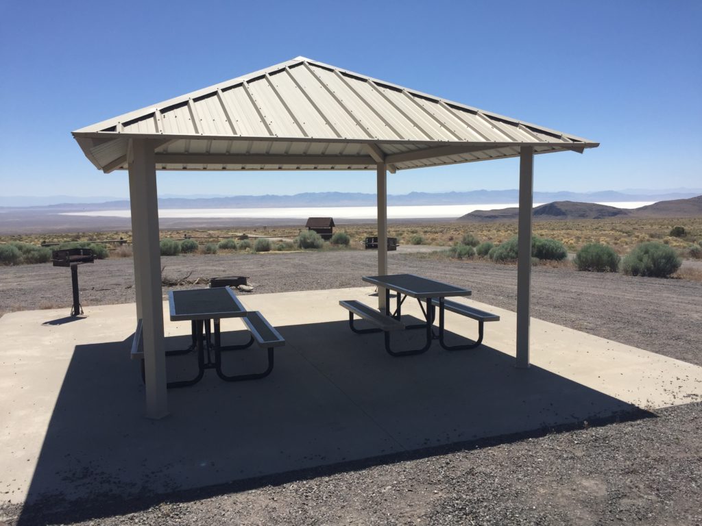
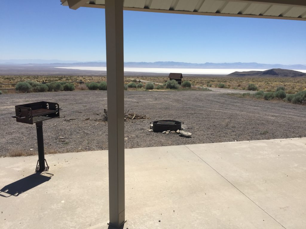
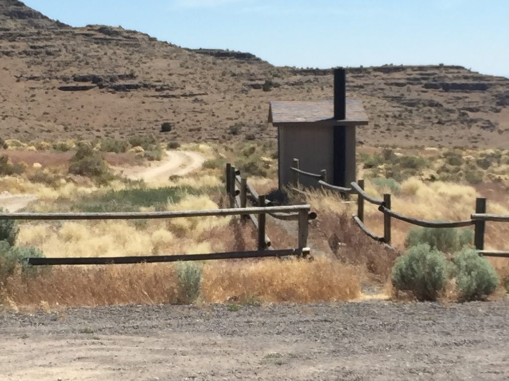
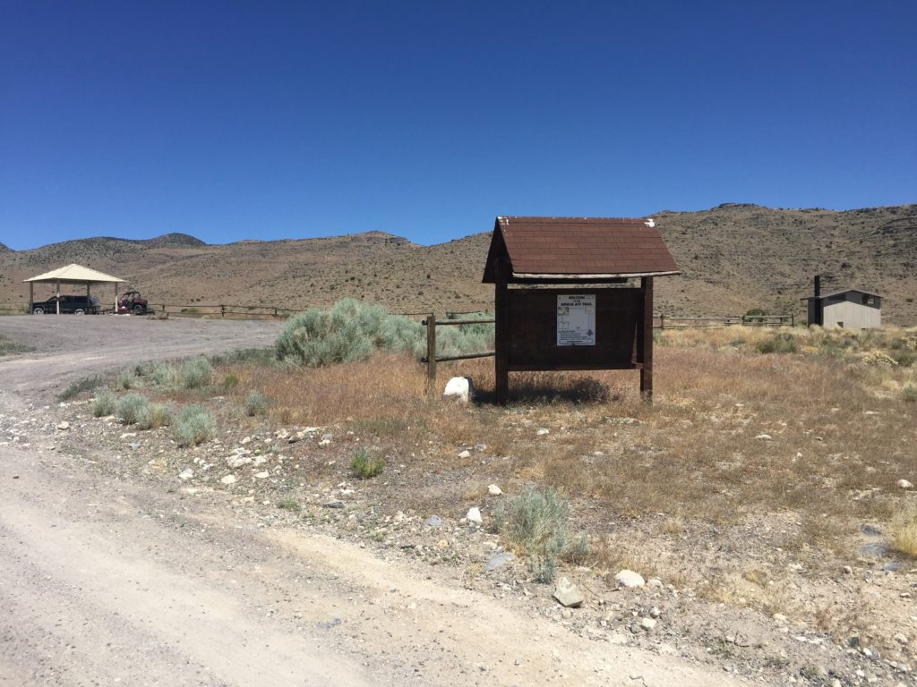
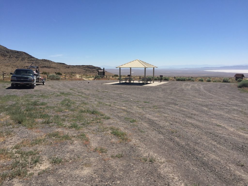
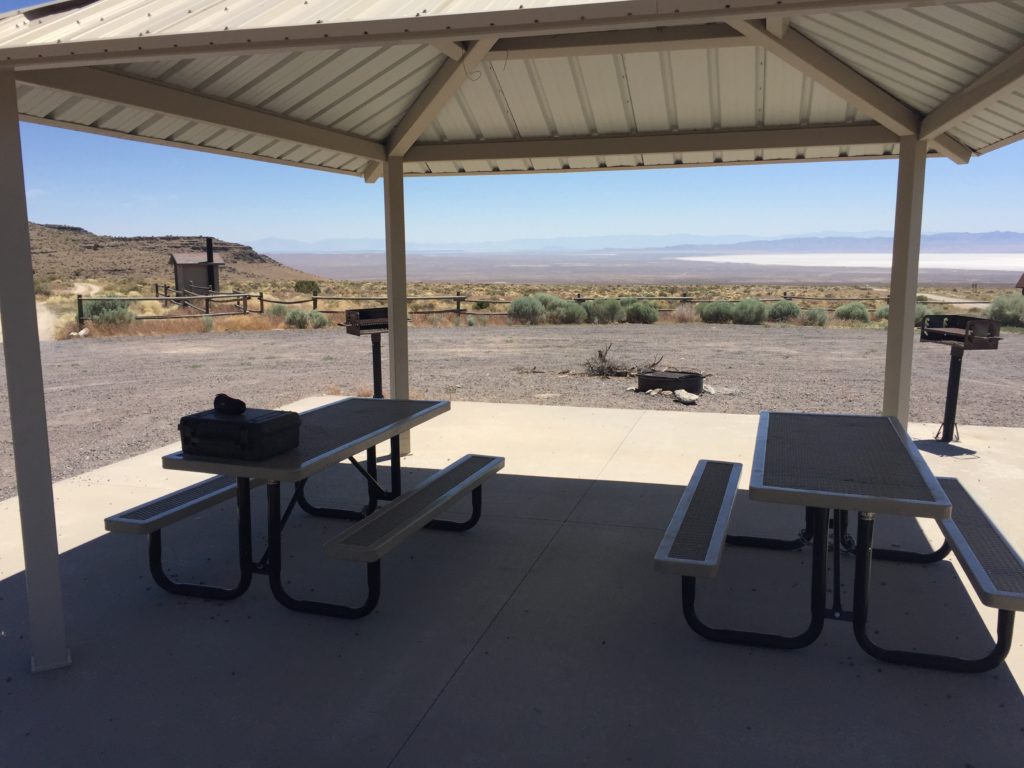
- Facilities: Vault Toilet at Trailhead only
- You may encounter Gates, Leave them as you find them.
- OHVs: All sizes. No width limits. ATV’s, MC’s, UTV’s, 4x4s on most trails. Near the top trails, narrow overgrowth may damage larger vehicles.
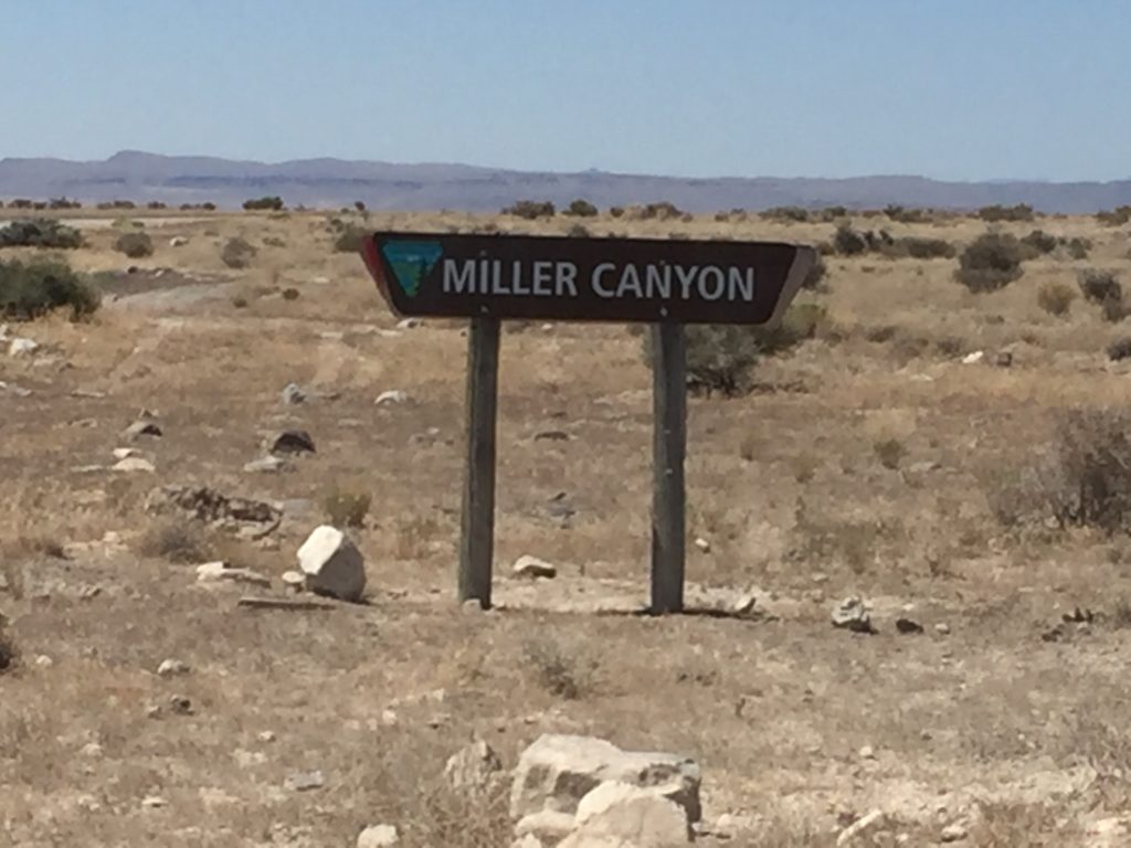
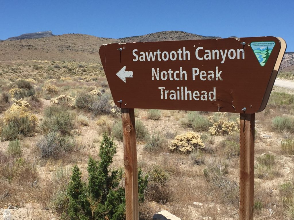
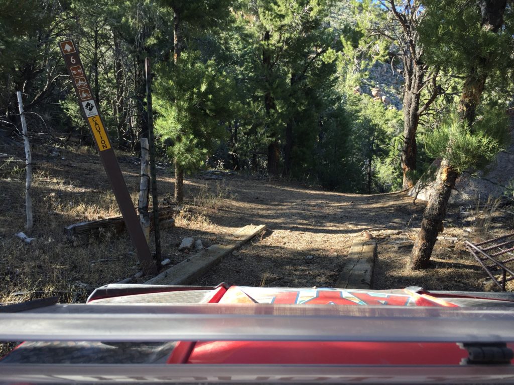
- Signing: Most Trails have adequate signage
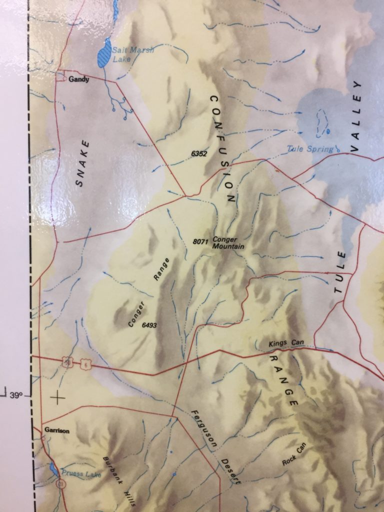
- Maps: Available in Delta at the Millard County Tourism office 75W Main.
- Online Printable Utah State Parks Map
- KML File for Google Maps
- GPX File for your Garmin GPS or other Apps
We highly recommend you get GAIA GPS for your smartphone or tablet mobile device. GAIA GPS will allow you to download this trail complete with the photos you see here so you can be sure where you are at all times. Simply install the GAIA GPS app and save this trail from here: DOWNLOAD THIS TRAIL
Here is an embedded live link to GAIA GPS to allow you to explore the trail. Each of the blue markers indicates that a photo was taken at that location. To view the track and photos click here: GAIA GPS – Amasa Basin
Would you like to see the Amasa Basin Trail in an animated 3D flyover map? If it appears to pause that is likely a place I stopped for a while. It will continue, just wait a few moments.
Here is the 360 view at the trailhead. Feel Free to tour around a bit inside Google Stree Views. We have recorded the trail in 360 and it is now part of Google Street Views so you can take a virtual tour of the trail to see if it is for you. While we didn’t have time to ride all of the trail we think you will find this fairly representative of what you will find. We’ve made it a bit easier to navigate, scroll down and you will see more 360 embedded tours as we encounter intersections, trail markers or interesting places along the trail.
On any image, you can click the ‘X’ in the upper right corner and the view will change to an overview map showing the Google Street View Blue lines. You can click anywhere on that blue line and drop down to the 360 ground-level views at that point.
You can move the image 360 degrees, click the arrow to move further down the trail and zoom in and out to take a closer look. Clicking the box in the upper right-hand corner will enlarge to full screen for a better view.
There is a giant Sink Hole here, it’s hard to see at ground level but it is huge. please be safe, stay outside the fence as the edge can crumble beneath you.
It won’t take you long to move up in elevation and the scrub brush turns to Pinion Pine trees and Juniper.
Then the Pinions turn to giant boulders and a few more leaves.
From the top of the mountain, the view is endless.
The trail narrows and is heavily washed out with many large boulders to work your way around. Beginners may want to skip this short section.
The trail ahead is not for expert riders only.
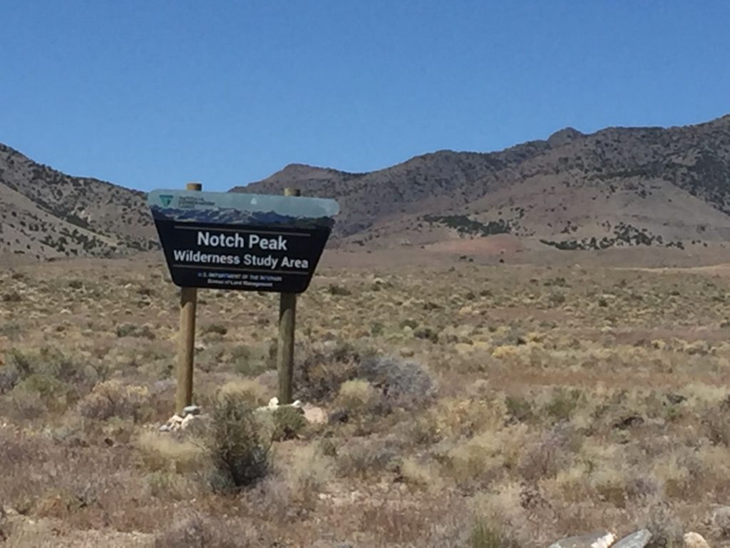
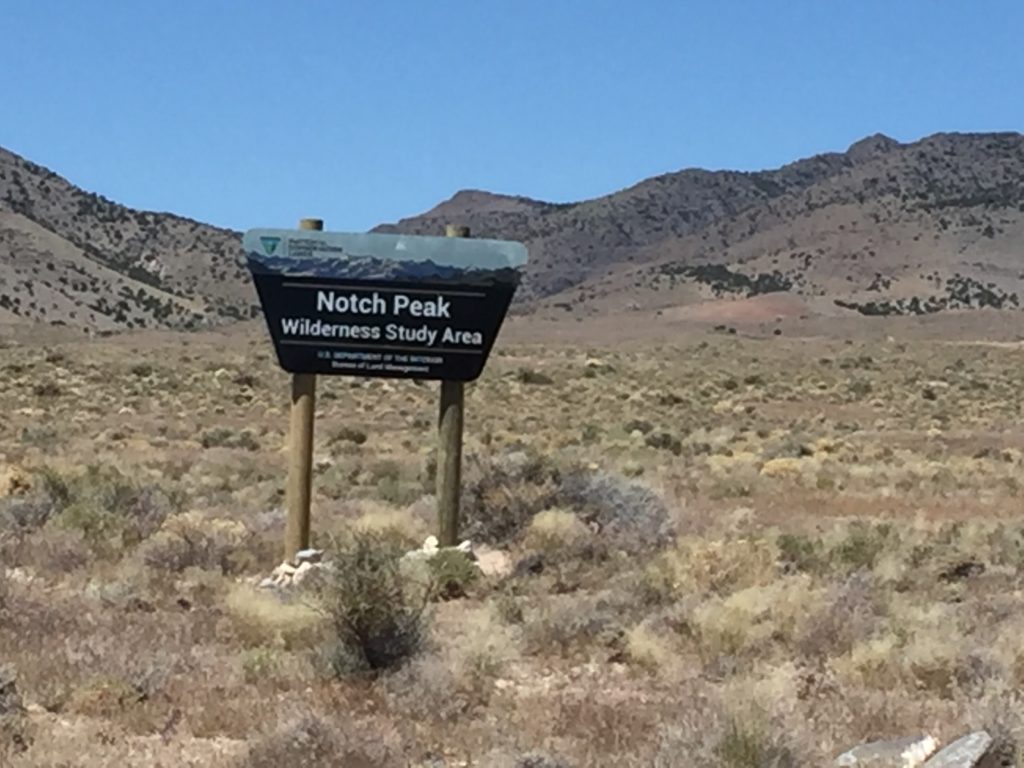
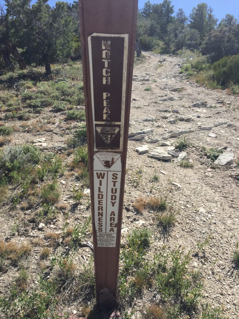
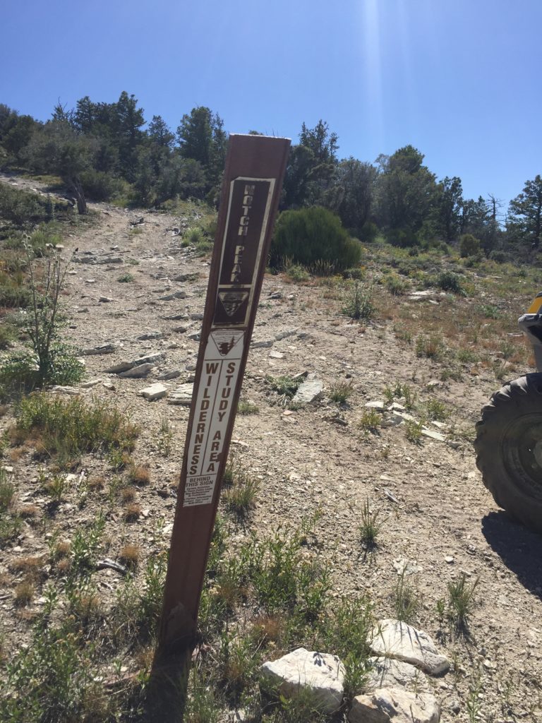
The trail ends at the edge of a Wilderness Study Area. We walked from here. It is possible to hike across to Notch Peak from here.
If you choose to return on Trail #6 be aware that it narrows significantly and heavily scrubbed both sides of our 50″ RZR. A larger rig could suffer significant paint or trim damage.
While this section is rough, rocky, narrow and slow, the views are spectacular.
The last leg returning to the Trailhead is wide and smooth, a nice reprieve.
Check out this great video of Notch Peak. Notch Peak is pretty much the end of the trail as Amasa Basin and well worth a short hike at the end.
Here is a photo gallery of all of the Images we took along the way. Not necessarily in any order or sequence. Many are at trail intersections. You can see the photos and exactly where along the trail where taken: Click here for Photo Locations.
Emergencies
The closest medical help is Milford Hospital 23 miles south on HWY 257. Dial 911 for Emergencies.
Millard County Sheriff 911 or (435) 864-2755 or (435) 743-6223
Utah Highway Patrol (435) 743-6653
BLM Office in Fillmore (435)743-3123

