

The Buckmaster trails are located in central Utah in Emery County approximately 13 miles west of Green River, and 201 miles South East of Provo Utah. This is just east of the final I-70 descent from the San Rafael Swell. The Trailhead is a few steps North of exit 149 on I-70 on Hwy 24 with good parking located on the West side of Utah Hwy 24 (The road to Hanksville and Goblin Valley). Approximately 180 miles of routes are marked within the area. It will take you all day(s) to explore this system and it is well worth the trip. There are no services so stock up on anything you need before leaving Price (or Green River if you are coming from the East) This is a great place to get away and enjoy some solitude while exploring a seldom seen part of Utah. The riding is pleasant and scenic, trails vary from easy to intermediate to expert (depending upon recent weather and erosion).
- Directions From the North
- Directions from the South
- Facilities: None
- You may encounter Gates, Leave them as you find them.
- OHVs: All sizes. No width limits. ATV’s, MC’s, UTV’s, 4x4s on most trails.
- Signing: Most Trails have adequate signage
- Maps: Available in Price at the BLM Field Office. 125 South 600 West Price, UT 84501 Email: utprmail@blm.gov Phone: (435) 636-3600
- KML File for Google Maps
- GPX File for your Garmin GPS or other Apps
We highly recommend you get GAIA GPS for your smartphone or tablet mobile device. GAIA GPS will allow you to download this trail complete with the photos you see here so you can be sure where you are at all times. Simply install the GAIA GPS app and save this trail from here: DOWNLOAD THIS TRAIL
Here is an embedded live link to GAIA GPS to allow you to explore the trail. Each of the blue markers indicates that a photo was taken at that location. To view the track and photos click here: GAIA GPS – Buckmaster Trail
Would you like to see the Buckmaster Trail in an animated 3D flyover map? If it appears to pause that is likely a place I stopped for a while. It will continue, just wait a few moments. 3D Flyover Link.
Here is the 360 view at the trailhead. Feel Free to tour around a bit inside Google Stree Views. We have recorded the trail in 360 and it is now part of Google Street Views so you can take a virtual tour of the trail to see if it is for you. While we didn’t have time to ride all of the trails we think you will find this fairly representative of what you will find. We’ve made it a bit easier to navigate, scroll down and you will see more 360 embedded tours as we encounter intersections, trail markers or interesting places along the trail.
On any image, you can click the ‘X’ in the upper right corner and the view will change to an overview map showing the Google Street View Blue lines. You can click anywhere on that blue line and drop down to the 360 ground-level views at that point.
You can move the image 360 degrees, click the arrow to move further down the trail and zoom in and out to take a closer look. Clicking the box in the upper right-hand corner will enlarge to full screen for a better view.
The trail exits the parking area to the SouthWest
Starting to climb up into the ledges
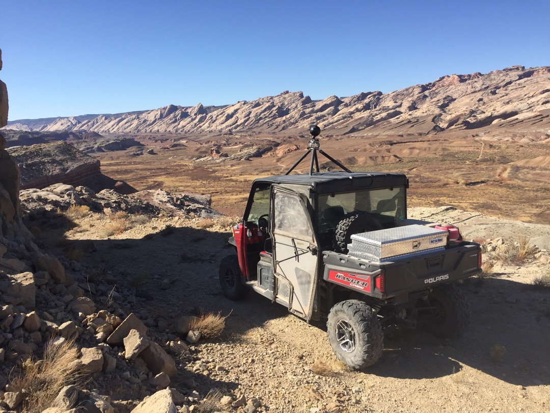
We quickly climb up to an overlook of the San Rafael River and the iconic upthrust rock formations that mark the entrance to the San Rafael Swell. Zoom in a bit and you can see I-70 as it disappears into the rock.
This is what it looks like when you simply follow the tracks in the sand and find yourself making a very scenic U-Turn
The trail attempts to camouflage itself here as it climbs the solid rock slope to the left. We zipped right past it and had to return.
It seems that leaving your vehicle on the Buckmaster for 50 years has some consequences.
You can turn left here, but we didnt get very far before the washed out trail stopped us.
Maybe a little Trail Cat work is in order? Or a LOT.
Remnants of the mining era are still visible in lots of old cabins, abandoned mining equipment, and occasional open mines. Be careful.
More Abandoned buildings
The view of the valley from a few miles further north.
This well-maintained gravel road will lead you right back to the trailhead, bear right.
Here is a segment from At Your Leisure TV about the Buckmaster Trail cleanup project.
Here is a photo gallery of all of the Images we took along the way. Not necessarily in any order or sequence. Many are at trail intersections. You can see the photos and exactly where along the trail where taken: Click here for Photo Locations.


Emergencies
The closest medical help is Green River Medical Center 585 Main St, Green River, UT 84525. Dial 911 for Emergencies or (435) 564-3434
If a Hospital is required Castle View Hospital is in Price. 300 North Hospital Dr Open 24 hours · (435) 637-4800
Emery County Sheriff Green River 911 or (435) 381-2404
Utah Highway Patrol Green River 911 or (435) 564-3474
BLM Office in Price (435) 636-3600

