

Just over 200 miles from Salt Lake and 150 miles from St. George, Circleville is a great weekend destination for those looking for an easy trip. The Circleville to Panguitch OHV trail is a 40-mile ride south out of Circleville heading to Panguitch. You will climb up out of the valley to approx. 9,000 feet elevation (3,437′ of ascent) before dropping back down into the flats outside of Panguitch. We spent three hours riding the trail and there is a return trail we will also post that will make this a complete loop for those who are looking for a day long ride.
This segment of Highway 89 is pastoral from the highway with the Sevier River weaving it’s way north. Circleville is a neat community to visit along the way and this trail gives a more rugged way to roll down to Panguitch. Butch Cassidy’s childhood home is near the trailhead so be sure to visit sometime during this trip.
We stayed in Circleville where you will find options for lodging, camping, fuel and some supplies. This community is ATV-friendly and easy to get around (please remember to be courteous and keep your speed down). Follow some of our directions below to learn more about this trail before you plan your stay. Piute County puts on more organized events than any other locale, so if you what to go with a group there are a number of options.
- Directions From the North
- Directions from the South
- Facilities: Lodging, restaurants, fuel and groceries are all available in Circleville. There are no services available along the trail.
- OHVs: All sizes. No width limits. ATVs, MCs, UTVs, 4x4s on most trails.
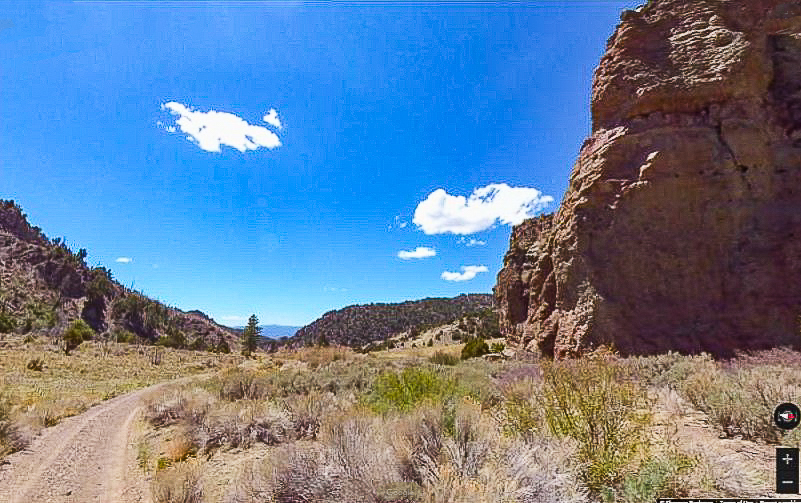
- Terrain: Mostly dirt and gravel roads.
- Signage: The area is signed fairly well but some of the signs are weathered. Look at our notes below and download a GPS track (see below).
- KML File for Google Maps
- GPX File for your Garmin GPS or other Apps
- Emergencies: Garfield Memorial Hospital 200 N 400 E Panguitch, UT 84759 (435) 676-8811 or Sevier Valley Medical Center (Intermountain), 1000 North Main Street, Richfield, UT 84701 (435) 893-4100
- Utah Highway Patrol Dial 9-1-1. We highly recommend you purchase a Utah Search and Rescue Assistant Card (USARA) learn more: https://secure.utah.gov/rescue/
GAIA
We highly recommend you get GAIA GPS for your mobile device. GAIA GPS will allow you to download this trail complete with the photos you see here so you can be sure where you are at all times. Simply install the GAIA GPS app and save this trail from the button below.
Here is the 360 view at the trailhead. Feel free to tour around a bit inside Google Street Views. We have recorded the trail in 360 and it is now part of Google Street Views so you can take a virtual tour of the trail to see if it is for you. We’ve made it a bit easier to navigate, scroll down and you will see more 360 embedded tours as we encounter intersections, trail markers or interesting places along the trail.
On any image, you can click the ‘X’ in the upper right corner and the view will change to an overview map showing the Google Street View blue lines. You can click anywhere on that blue line and drop down to the 360 ground-level views at that point.
You can move the image 360 degrees, click the arrow to move further down the trail and zoom in and out to take a closer look. Clicking the box in the upper right-hand corner will enlarge to full screen for a better view.

