

The trail from Joseph to Fremont State Park is one of many side trails of the Paiute ATV Trail System. The Flying U Country Store made a great place for us to setup base camp. They have fuel, food and camping accommodations that aren’t as busy as some of the other nearby towns.
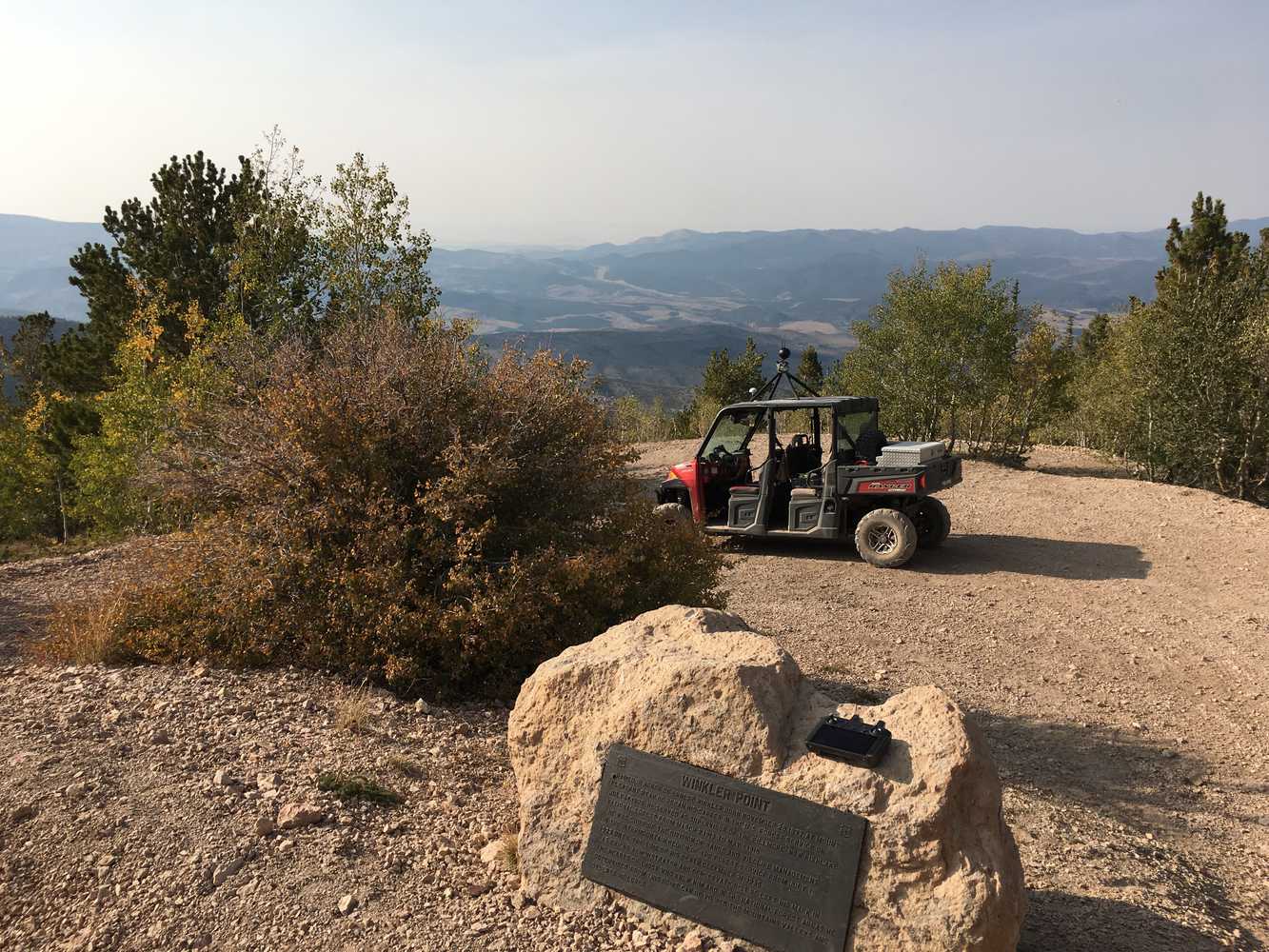
Fremont State Park is only 10 miles away and has a number of activities to enjoy including the trail we rode today that took us to the old mining town of Kimberly before continuing on down to Marysvale. Use the information below to plan your trip on this 60-mile route that we covered in five hours. We would recommend planning an entire day to include time to explore all of the points of interest along the way.
- Directions From the North
- Directions from the South
- Facilities: Lodging, restaurants, fuel and groceries are all available in Joseph. There are no services or rest stops on the trail.
- OHVs: Street Legal OHVs (you will drive through some towns on paved roads). High clearance 4x4s on most trails.
- Terrain: Easy - County and Forest Roads
- Signage: Well signed as part of the Paiute ATV System.
- KML File for Google Maps
- GPX File for your Garmin GPS or other Apps
- Sevier Valley Medical Center (Intermountain Healthcare), 1000 North Main, Richfield, UT 84701 (435) 893-4100
- Sevier County Sheriff – Dial 9-1-1 or (435) 896-2600
GAIA
We highly recommend you get GAIA GPS for your mobile device. GAIA GPS will allow you to download this trail complete with the photos you see here so you can be sure where you are at all times. Simply install the GAIA GPS app and save this trail from the button below.
Here is the 360 view at the trailhead. Feel free to tour around a bit inside Google Street Views. We have recorded the trail in 360 and it is now part of Google Street Views so you can take a virtual tour of the trail to see if it is for you. We’ve made it a bit easier to navigate, scroll down and you will see more 360 embedded tours as we encounter intersections, trail markers or interesting places along the trail.
On any image, you can click the ‘X’ in the upper right corner and the view will change to an overview map showing the Google Street View blue lines. You can click anywhere on that blue line and drop down to the 360 ground-level views at that point.
You can move the image 360 degrees, click the arrow to move further down the trail and zoom in and out to take a closer look. Clicking the box in the upper right-hand corner will enlarge to full screen for a better view.

