

The trail from Joseph to Richfield is one of many side trails of the beautiful Paiute Trail System. We rode for 2.5 hours at approximately 15 mph.
This area is known for its well maintained trails and rustic scenery. Be sure to make time to stop at Fremont Indian State Park, the home of 3,000 rock art panels!
Joseph is a quaint town with just about everything you’d need to set off on an offroad adventure. With the Flying U Country Store, you have quick access to all the supplies you and scrumptious food.
This is short half day ride, leaving plenty of time to stop and explore the area.
- Directions From the North
- Directions from the South
- Faciliites: Marysvale - lodging, dining, gas; Joseph - gas, convenience store, limited lodging; Fremont State Park - camping, restrooms, museum; Silver King Mine - pit toilet and parking.
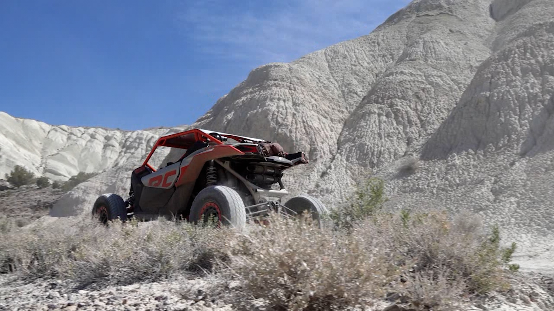
- OHVs: Street legal OHVs (you will drive through some towns on paved roads); high clearance 4x4s on most trails.
- Terrain: County and Forest roads.
- Signage: Well Signed as part of the Paiute ATV System.
- KML File for Google Maps
- GPX File for your Garmin GPS or other Apps
- Emergencies: Sevier Valley Medical Center (Intermountain Healthcare) 1000 North Main Street, Richfield, UT 84701 (435) 893-4100
- Sevier County Sheriff: Dial 9-1-1 or (435) 896-2600; Utah Highway Patrol – Richfield: Dial 9-1-1 or (435) 896-2780. We highly recommend you purchase a Utah Search and Rescue Assistant Card (USARA), learn more: https://secure.utah.gov/rescue/
GAIA
We highly recommend you get GAIA GPS for your mobile device. GAIA GPS will allow you to download this trail complete with the photos you see here so you can be sure where you are at all times. Simply install the GAIA GPS app and save this trail from the button below.
Here is the 360 view at the trailhead. Feel free to tour around a bit inside Google Street Views. We have recorded the trail in 360 and it is now part of Google Street Views so you can take a virtual tour of the trail to see if it is for you. We’ve made it a bit easier to navigate, scroll down and you will see more 360 embedded tours as we encounter intersections, trail markers or interesting places along the trail.
On any image, you can click the ‘X’ in the upper right corner and the view will change to an overview map showing the Google Street View blue lines. You can click anywhere on that blue line and drop down to the 360 ground-level views at that point.
You can move the image 360 degrees, click the arrow to move further down the trail and zoom in and out to take a closer look. Clicking the box in the upper right-hand corner will enlarge to full screen for a better view.

