

The Marysvale Maze OHV trail will take you on a number of different routes depending on the route you take. There are three different loops that can be taken. Because there are so many forks on the route we took and the terrain looks similar, you will really want to download the GPX file before heading out.
Depending on the route you can visit the Antelope Range with great vistas or visit the old VCA or Prospector mines. We hope this will give you a good preview of a solid ride for beginner to intermediate riders.
Basing out of Marysvale allows for close access to the trailhead to get an early start on the trail without a lot of additional travel.
We spent 4.5 hours riding the trail for 40 miles at approximately 8 mph. You will want to plan on a long day out to allow for plenty of time for getting back.
We rode the trail as an out and back and these numbers are based on taking the full loop. You can shorten the trip by turning on Flat Top Road can cut the trip approximately in half or cutting over the Antelope Range using the VCA Mine Rd and doing 3/4 of the loop.
- Directions From the North
- Directions from the South
- Faciliites: Lodging, restaurants, fuel and groceries are all available in Marysvale, Utah.
- OHVs: ATVs, MCs, UTVs, High Clearance 4x4s on all trails. Riding is restricted to designated trails.
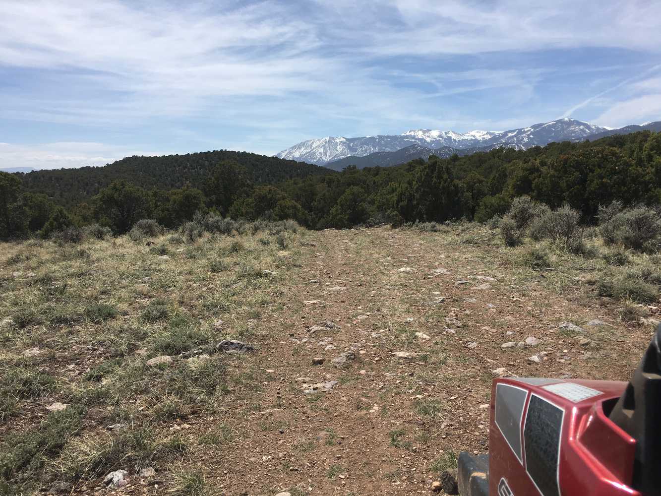
- Terrain: Dirt and rock back country roads and trail
- Signage: BLM Route Markers and carsonites / well-marked
- KML File for Google Maps
- GPX File for your Garmin GPS or other Apps
- Emergencies: Sevier Valley Medical Center (Intermountain), 1000 North Main Street, Richfield, UT 84701 (435) 893-4100
- Piute County Sheriff : Dial 9-1-1 or (435) 577-2893 • Utah Highway Patrol: Dial 9-1-1. We highly recommend you purchase a Utah Search and Rescue Assistant Card (USARA) learn more: https://secure.utah.gov/rescue/.
GAIA
We highly recommend you get GAIA GPS for your mobile device. GAIA GPS will allow you to download this trail complete with the photos you see here so you can be sure where you are at all times. Simply install the GAIA GPS app and save this trail from the button below.
Here is the 360 view at the trailhead. Feel free to tour around a bit inside Google Street Views. We have recorded the trail in 360 and it is now part of Google Street Views so you can take a virtual tour of the trail to see if it is for you. We’ve made it a bit easier to navigate, scroll down and you will see more 360 embedded tours as we encounter intersections, trail markers or interesting places along the trail.
On any image, you can click the ‘X’ in the upper right corner and the view will change to an overview map showing the Google Street View blue lines. You can click anywhere on that blue line and drop down to the 360 ground-level views at that point.
You can move the image 360 degrees, click the arrow to move further down the trail and zoom in and out to take a closer look. Clicking the box in the upper right-hand corner will enlarge to full screen for a better view.

