

Marysvale to Circleville is a short exciting drive passing through great mountian scenery, Dock Spring and the Piute Reservoir. Be sure to stock up on supplies at the Sinclair convenience store before you depart or choose nearby Junction. A fun drive to the south will take you through BLM and state land. The open and winding valleys make for a great half-day trip!
This trail is about 27 miles and took us about 2.5 hours to complete.
- Directions From the North
- Directions from the South
- Facilities: Food and supplies at Otter Creek Reservior Fuel, Food and Lodging in Marysvale
- OHVs: All sizes. No width limits. ATVs, MCs, UTVs, 4x4s on most trails.
- Terrain: Mostly graded County Roads
- Signage: The main routes have adequate signage.
- KML File for Google Maps
- GPX File for your Garmin GPS or other Apps
- Emergencies: Circleville Clinic, 145 W Main Street, Circleville, UT 84723
- Sevier County Sheriff: Dial 9-1-1 or (435) 896-2600; Utah Highway Patrol – Richfield: Dial 9-1-1 or (435) 896-2780. We highly recommend you purchase a Utah Search and Rescue Assistant Card (USARA), learn more: https://secure.utah.gov/rescue/
GAIA
We highly recommend you get GAIA GPS for your mobile device. GAIA GPS will allow you to download this trail complete with the photos you see here so you can be sure where you are at all times. Simply install the GAIA GPS app and save this trail from the button below.
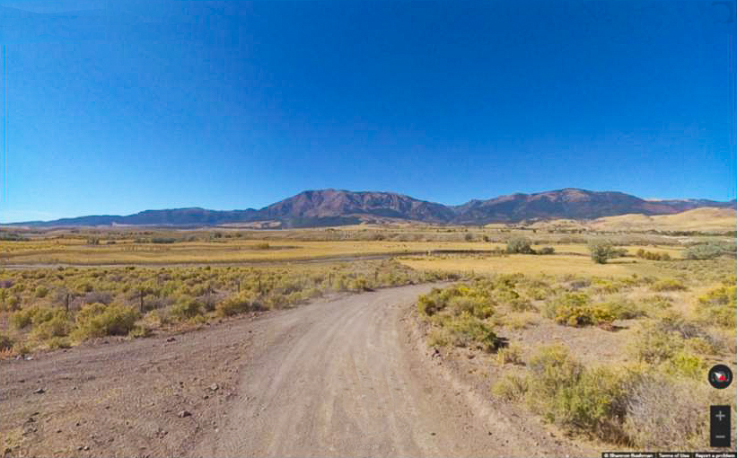
Here is the 360 view at the trailhead. Feel free to tour around a bit inside Google Street Views. We have recorded the trail in 360 and it is now part of Google Street Views so you can take a virtual tour of the trail to see if it is for you. We’ve made it a bit easier to navigate, scroll down and you will see more 360 embedded tours as we encounter intersections, trail markers or interesting places along the trail.
On any image, you can click the ‘X’ in the upper right corner and the view will change to an overview map showing the Google Street View blue lines. You can click anywhere on that blue line and drop down to the 360 ground-level views at that point.
You can move the image 360 degrees, click the arrow to move further down the trail and zoom in and out to take a closer look. Clicking the box in the upper right-hand corner will enlarge to full screen for a better view.

