

The Mary’s Nipple Loop is a beginner-rated trail with some “more difficult” trails available at several intersections. The loop is made up of several segments of the Gooseberry Trail System on the Fishlake National Forest (Routes 9, 2, 1, 3) and took about 3.5 hours (moving) to cover the 60-mile loop.
We started at the Salina City Park and paralleled I-70 until we came to the trailhead for segment two of the trail. Salina makes a good base camp for your trip with restaurants, gas, groceries and some lodging.
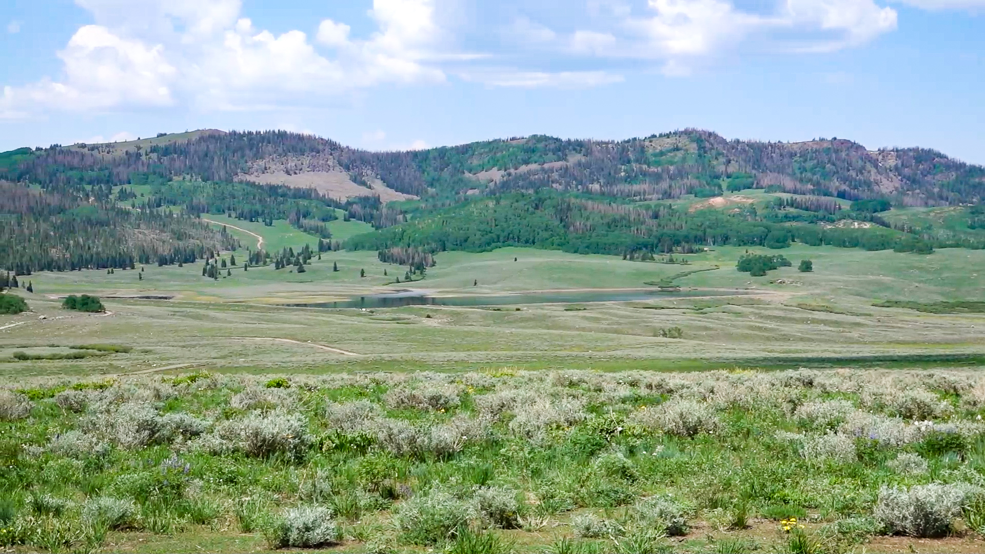
This is another trail in the area where you can gain some elevation to beat the summer temps in the valley.
- Directions From the North
- Directions from the South
- Facilities: Lodging, restaurants, fuel and groceries in Salina. Pit toilets and picnic areas are scattered along the trail.
- OHVs: ATVs, MCs, UTVs, 4x4s on most trails. *There are some 50" only segments accessible off this route*.
- Terrain: Mostly paved and dirt roads.
- Signage: Trail is well signed.
- KML File for Google Maps
- GPX File for your Garmin GPS or other Apps
- Emergencies: Sevier Valley Medical Center (Intermountain Healthcare) 1000 North Main Street, Richfield, UT 84701 (435) 893-4100
- Sevier County Sheriff: Dial 9-1-1 or (435) 896-2600; Utah Highway Patrol – Richfield: Dial 9-1-1 or (435) 896-2780. We highly recommend you purchase a Utah Search and Rescue Assistant Card (USARA), learn more: https://secure.utah.gov/rescue/
GAIA
We highly recommend you get GAIA GPS for your mobile device. GAIA GPS will allow you to download this trail complete with the photos you see here so you can be sure where you are at all times. Simply install the GAIA GPS app and save this trail from the button below.
Here is the 360 view at the trailhead. Feel free to tour around a bit inside Google Street Views. We have recorded the trail in 360 and it is now part of Google Street Views so you can take a virtual tour of the trail to see if it is for you. We’ve made it a bit easier to navigate, scroll down and you will see more 360 embedded tours as we encounter intersections, trail markers or interesting places along the trail.
On any image, you can click the ‘X’ in the upper right corner and the view will change to an overview map showing the Google Street View blue lines. You can click anywhere on that blue line and drop down to the 360 ground-level views at that point.
You can move the image 360 degrees, click the arrow to move further down the trail and zoom in and out to take a closer look. Clicking the box in the upper right-hand corner will enlarge to full screen for a better view.
360 Tour Coming Soon!

