

Marysvale to Otter Creek OHV Trail is a dynamic and scenic ride just about half an hour south of Richfield. Marysvale is the perfect launching point for a fantastic ride with gas, food and supplies all available at your fingertips. Please stay on established roads and marked trails. Below you will find map resources and some suggestions for riding in this area.
Our ride took about 2.5 hours at 16 mph covering a distance of 37 miles. Riding starts off with a paved road and then consists of mostly graded county roads, and has terrain virtually any machine could handle but can still be a fun challenge.
The ride starts out at Lizzie and Charlie’s RV / ATV Park, which is a wonderful starting point with excellent service for your offroading needs.
Be sure to pack ponchos as the mountainous section of the ride tends to rain during the summer. The Otter Creek Reservoir has great fishing so be sure to stock up on gear at the Sinclair convenience store before you depart.
- Directions From the North
- Directions from the South
- Facilities: Food and supplies at Otter Creek Reservoir. Fuel, food and lodging in Marysvale.
- OHVs: All sizes. No width limits. ATVs, MCs, UTVs, 4x4s on most trails.
- Terrain: Mostly graded county roads.
- Signage: The main routes have adequate signage.
- KML File for Google Maps
- GPX File for your Garmin GPS or other Apps
- Emergencies: Sevier Valley Medical Center (Intermountain Healthcare), 1000 North Main Street, Richfield, UT 84701 (435) 893-4100
- Sevier County Sheriff: Dial 9-1-1 or (435) 896-2600; Utah Highway Patrol – Richfield: Dial 9-1-1 or (435) 896-2780. We highly recommend you purchase a Utah Search and Rescue Assistant Card (USARA), learn more: https://secure.utah.gov/rescue/
GAIA
We highly recommend you get GAIA GPS for your mobile device. GAIA GPS will allow you to download this trail complete with the photos you see here so you can be sure where you are at all times. Simply install the GAIA GPS app and save this trail from the button below.
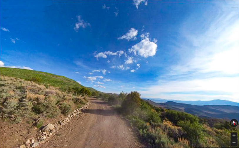
Here is the 360 view at the trailhead. Feel free to tour around a bit inside Google Street Views. We have recorded the trail in 360 and it is now part of Google Street Views so you can take a virtual tour of the trail to see if it is for you. We’ve made it a bit easier to navigate, scroll down and you will see more 360 embedded tours as we encounter intersections, trail markers or interesting places along the trail.
On any image, you can click the ‘X’ in the upper right corner and the view will change to an overview map showing the Google Street View blue lines. You can click anywhere on that blue line and drop down to the 360 ground-level views at that point.
You can move the image 360 degrees, click the arrow to move further down the trail and zoom in and out to take a closer look. Clicking the box in the upper right-hand corner will enlarge to full screen for a better view.

