

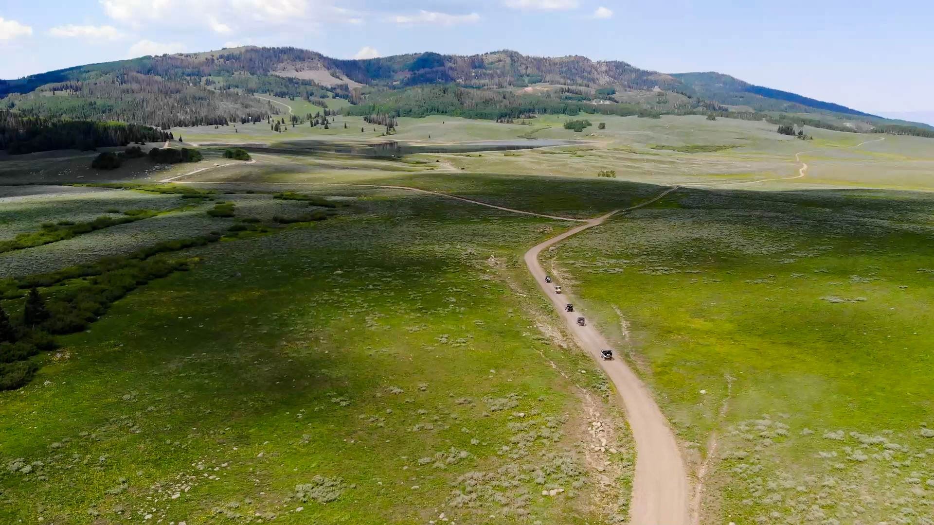
The Salina to Gooseberry Loop is a great beginner trail that can accommodate virtually any vehicle. If you want to get off the pavement into some trees you will want to bring a 50″ or smaller machine because there is some great riding in this area that you can access from this route. The entire loop is 70 miles and took us 5.5 hours (moving) to complete. Plan a full day for this ride because there are a number of small ponds and reservoirs to hike around and look at. This is also a good beginner trail because there is a fair amount of pavement and easy dirt roads to ride on.
We started at the Salina City Park and crossed under I-70 to start up the canyon. Nearby Salina has a few restaurants, gas, groceries and some lodging. There is a variety of dispersed and developed camping in the area. If you plan you trip around the annual Eyes to the Sky Balloon Festival (https://eyestotheskyballoonfestival.com/), you will have enough time in the morning to catch the balloons before heading out on the trail to beat the heat in the valley.
The elevation makes this a good summer or early fall ride, especially if you go when the leaves are changing. Fish Lake and Pando are nearby if you continue on Forest Road 640 after you get to the top of the trail.
- Directions From the North
- Directions from the South
- Facilities: Lodging, restaurants, fuel and groceries in Salina. Pit toilets and picnic areas are scattered along the trail.
- OHVs: All sizes. No width limits. ATVs, MCs, UTVs, 4x4s on most trails. Most of the trails accommodate any size vehicle.
- Terrain: Mostly paved and dirt roads.
- Signage: Trail is well signed.
- KML File for Google Maps
- GPX File for your Garmin GPS or other Apps
- Emergencies: Sevier Valley Medical Center (Intermountain Healthcare) 1000 North Main Street, Richfield, UT 84701 (435) 893-4100
- Sevier County Sheriff: Dial 9-1-1 or (435) 896-2600; Utah Highway Patrol – Richfield: Dial 9-1-1 or (435) 896-2780. We highly recommend you purchase a Utah Search and Rescue Assistant Card (USARA), learn more: https://secure.utah.gov/rescue/
GAIA
We highly recommend you get GAIA GPS for your mobile device. GAIA GPS will allow you to download this trail complete with the photos you see here so you can be sure where you are at all times. Simply install the GAIA GPS app and save this trail from the button below.
Here is the 360 view at the trailhead. Feel free to tour around a bit inside Google Street Views. We have recorded the trail in 360 and it is now part of Google Street Views so you can take a virtual tour of the trail to see if it is for you. We’ve made it a bit easier to navigate, scroll down and you will see more 360 embedded tours as we encounter intersections, trail markers or interesting places along the trail.
On any image, you can click the ‘X’ in the upper right corner and the view will change to an overview map showing the Google Street View blue lines. You can click anywhere on that blue line and drop down to the 360 ground-level views at that point.
You can move the image 360 degrees, click the arrow to move further down the trail and zoom in and out to take a closer look. Clicking the box in the upper right-hand corner will enlarge to full screen for a better view.

