

Photo courtesy VisitUtah.com
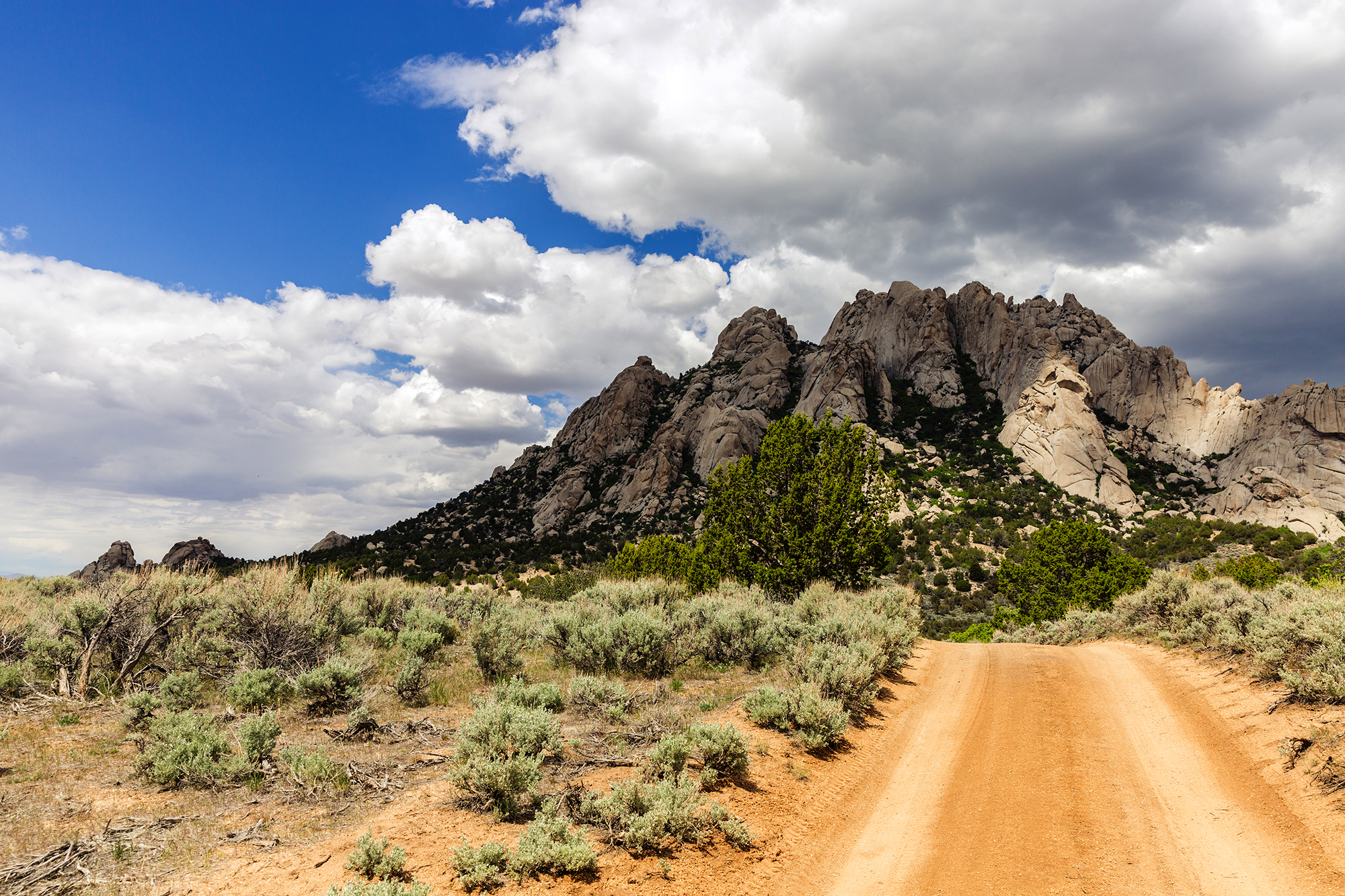
The Mineral Mountain OHV Loop will take you on winding gravel and dirt roads through the pinyon and juniper covered mountains. There are incredible views of the Beaver Dam Wash, Bull Valley and Clover Mountain Range in Nevada. The loop we took was 55 miles and took us five hours to complete (riding time).
There are a number of other trails in the area that can take you farther north into the mountains or that drop down onto the desert in the Beaver Dam Wash National Conservation Area.
The trailhead lies north of Gunlock off of the main route that goes through town or you can reach the trailhead by heading west through Veyo toward Gunlock.
There are lots of options for lodging and amenities in nearby St. George. There are also a few camping spots at Gunlock State Park (get a reservation, they fill fast) if you are looking for a place you can ride from.
A variation of this trail is offered as part of the Tri-State ATV Jamboree that takes place annually in March. You can learn more about the event and trails they run here: https://www.thetristateatvclub.com/jamboree-rides-overview. This trail is referred to as Gunlock/Gold Strike on their site.
- Directions From the North
- Directions from the South
- Facilities: No services along the trail. The nearest fuel is in Veyo. The nearby St. George area offers everything you may need for your trip.
- OHVs: All sizes. No width limits. ATVs, MCs, UTVs, 4x4s on most trails.
- Terrain: Mostly dirt and gravel roads.
- Signage: The area is not signed well. We recommend downloading the GPS track below.
- KML File for Google Maps
- GPX File for your Garmin GPS or other Apps
- Emergencies:The closest medical help is St. George Regional Hospital, 1380 E Medical Center Drive, St George, UT 84790. (435) 251-1000. Dial 9-1-1 for emergencies.
- Washington County Sheriff: 620 S 5300 W, Hurricane, UT 84737 (435) 656-6500. Dial 9-1-1 for emergencies; Utah Highway Patrol: Dial 9-1-1. We highly recommend you purchase a Utah Search and Rescue Assistant Card (USARA) learn more: https://secure.utah.gov/rescue/
Watch the Trail in Hyperlapse!
GAIA
We highly recommend you get GAIA GPS for your mobile device. GAIA GPS will allow you to download this trail complete with the photos you see here so you can be sure where you are at all times. Simply install the GAIA GPS app and save this trail from the button below.
Here is the 360 view at the trailhead. Feel free to tour around a bit inside Google Street Views. We have recorded the trail in 360 and it is now part of Google Street Views so you can take a virtual tour of the trail to see if it is for you. We’ve made it a bit easier to navigate, scroll down and you will see more 360 embedded tours as we encounter intersections, trail markers or interesting places along the trail.
On any image, you can click the ‘X’ in the upper right corner and the view will change to an overview map showing the Google Street View blue lines. You can click anywhere on that blue line and drop down to the 360 ground-level views at that point.
You can move the image 360 degrees, click the arrow to move further down the trail and zoom in and out to take a closer look. Clicking the box in the upper right-hand corner will enlarge to full screen for a better view.
360 Tour Coming Soon!

